What is recorded here
In pasture, c. 100m NW of stream. Grass-covered spread of burnt material, cut by drain along SE side. Burnt material (L 10m; D 1m) visible in section in drain. One of three fulachta fiadh, two of which were levelled, recorded by Bowman (1934, 278) on D. Guerin's land (see 10576, 10577).
The above description is derived from the published 'Archaeological Inventory of County Cork. Volume 4: North Cork' (Dublin: Stationery Office, 2000). In certain instances the entries have been revised and updated in the light of recent research.
Date of upload/revision: 14 January 2009
The monument record does not grant public access. Check the route and ask the landowner before entering private land.
- What survives
- Recorded monument
Places near here
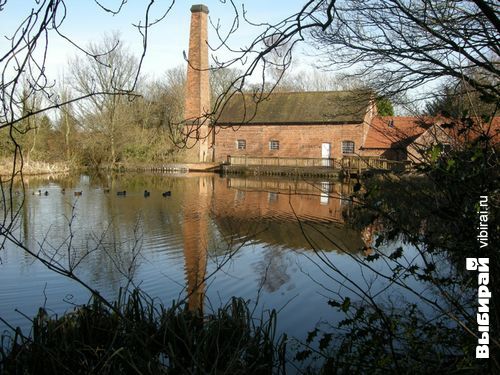 Man-made underground passage (Site of)Man-made underground passage · 1039 yd
 Man-made underground passage in Cloonbannin EastMan-made underground passage · 1235 yd
 Drominagh Castle (Site of)Castle, unclassified · 1.2 mi
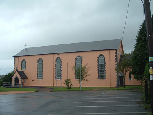 Church of the Presentation of Our Ladychurch/chapel · 1.7 mi
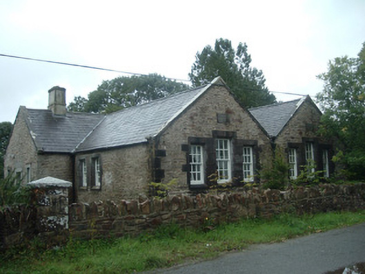 Old School Houseschool · 1.7 mi
 Castle (Site of)Bawn · 3.1 mi
 Battle of Knocknaclashybattle · 4.4 mi
 Rathcool WoodWood · 4.5 mi
 Kanturk CastleHeritage attraction · 6.0 mi
 RowanRowan · 6.8 mi
 St Fursey's WellSpring · 7.2 mi
 Mount Hillary - Knightfield LoopWalking route · 8.2 mi