What is recorded here
Roadside, on W-facing slope. Indicated on 1935 OS 6-inch map as roughly circular in shape. No visible surface trace. Drain cut along edge of road.
The above description is derived from the published 'Archaeological Inventory of County Cork. Volume 2: East and South Cork' (Dublin: Stationery Office, 1994). In certain instances the entries have been revised and updated in the light of recent research.
Date of upload/revision: 14 January 2009
The monument record does not grant public access. Check the route and ask the landowner before entering private land.
- What survives
- Recorded monument
Places near here
 BarrowBarrow, unclassified · 593 yd
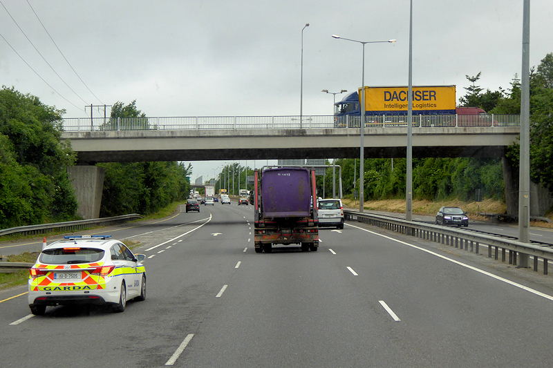 RoadRoad, unclassified togher · 1256 yd
 Enclosure in CorrinEnclosure · 1384 yd
 Strawhall WoodForest · 1403 yd
 Pope's WellSpring · 1460 yd
 Ballybrack WoodForest · 1625 yd
 Berry Hillcountry house · 1.4 mi
 Barrymore Castle or Castle LyonsHouse, fortified house · 2.0 mi
 Kent BridgeMemorial · 2.1 mi
 Graveyard in FermoyGraveyard · 2.1 mi
 Tourist InformationVisitor information · 2.1 mi
 Carrigabrick Castle (in Ruins)Castle, tower house · 2.3 mi