What is recorded here
In pasture, on the W bank of a stream on the S slopes of the Ox Mountains. A roughly circular flat-topped mound (15m E-W; 13m N-S; H 1m) of heat-shattered stones in a charcoal-enriched soil. Attached at S is a smaller irregular mound (8.8m N-S; 9m E-W; H 0.5m) of similar material. Traces of possible stone kerbing were noted in the eastern angle between the two mounds. A burnt spread (SL026-174002-) lies c. 10m to NE on the E bank of the same stream.
The above description is derived from the published 'Archaeological Inventory of County Sligo' compiled by Ursula Egan, Elizabeth Byrne, Mary Sleeman with Sheila Ronan and Connie Murphy (Dublin Stationery Office, 2005).
Date of upload: 18 January 2008
The monument record does not grant public access. Check the route and ask the landowner before entering private land.
- What survives
- Recorded monument
Places near here
 Tullaghan HillMountain / peak · 364 yd
 Tullaghan CastleCliff-edge fort · 380 yd
 Holy WellHoly well · 392 yd
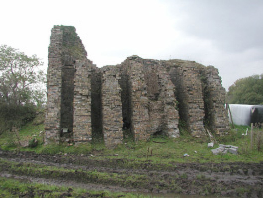 Coolaney Brick Workskiln · 761 yd
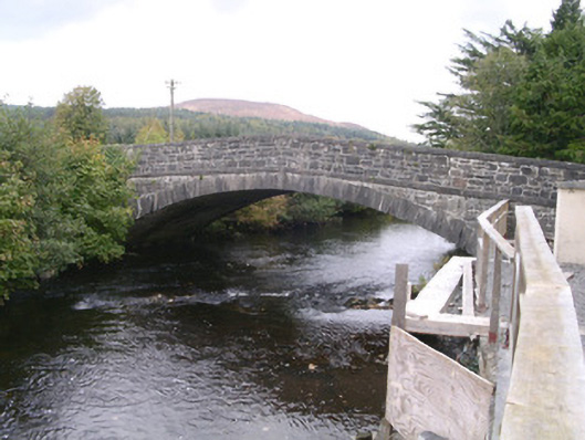 bridgebridge · 1343 yd
 DoomoreMountain / peak · 1504 yd
 Moymlough Castle (in Ruins)Castle, tower house · 1.2 mi
 RinnatalleenHeadland · 2.3 mi
 Derinch PointHeadland · 2.8 mi
 Bawn in Tanrego WestBawn · 3.4 mi
 CarrigeenfaddaIslet · 3.4 mi
 Teeling MonumentMemorial · 3.9 mi