What is recorded here
In pasture, at the base of a steep NNE-facing slope on the S side of Lingaun River. A fulacht fia (TS072-017----) is located 310m to the WNW. According to Lucas (1972, 187) a small trapezoidal flint scraper was recovered from this fulacht fia. Though levelled, the remains of D-shaped mound (dims. 20m NNE-SSW; 50m WNW-ESE), best defined from SW-WNW, are visible. The fulacht fia is defined by the Lingaun River on its straight side to the NNE. A field boundary to the E has been removed.
Compiled by: Jean Farrelly
Date of upload: 26 August 2011
This remains an important historical record, but the official description says the monument is no longer visible or has been destroyed. The monument record does not grant public access. Check the route and ask the landowner before entering private land.
- What survives
- No visible remains or recorded as destroyed
Places near here
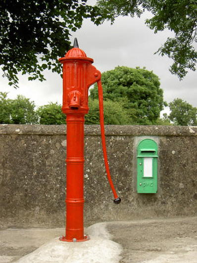 water pumpwater pump · 429 yd
 Fulacht fia in CoolarkinFulacht fia · 551 yd
 Castle JohnCastle, tower house · 706 yd
 Fulacht fia in ClashnasmutFulacht fia · 1038 yd
 CastleCastle, motte · 1434 yd
 Knockroe Passage TombVisitor information · 1606 yd
 Church (in Ruins)Church · 1704 yd
 Carrigadoon HillMountain / peak · 1.7 mi
 Curraghdobbin HillMountain / peak · 2.4 mi
 Irish Republic 1916-2016Memorial · 2.6 mi
 Brawder's Family BlacksmithHeritage attraction · 2.6 mi
 Kilmacoliver/ Tullahought School 1876-1973Visitor information · 2.6 mi