What is recorded here
In pasture, on a S-facing slope. A spread (15.2m E-W; 8m N-S; D 0.3m) of heat-shattered stones and charcoal-enriched soil was exposed during topsoil stripping in advance of the construction of the Ballincollig-Ballineen gas pipeline and was excavated in 2000. A spread of stones which was uncovered on the E side of the spread was interpreted as a dump of raw material for the water-heating process. A subrectangular/elliptical pit (2.54m E-W; 1.75m N-S; D 0.6m) was found towards the N edge of the spread. It had steep sides and a flat base and was predominantly filled with heat-shattered stones and charcoal-enriched soil. The base and sides of the pit were lined with combined layers of charcoal and a grey silt. The pit was interpreted as the trough of the fulacht fia, and was possibly lined with wicker or a wattle and clay mix. (Tobin 2001; 2002f, 52-3)
The above description is derived from 'The Archaeological Inventory of County Cork. Volume 5' (Dublin: Stationery Office, 2009).
Date of upload: 22 December 2009
The monument record does not grant public access. Check the route and ask the landowner before entering private land.
- What survives
- Recorded monument
Places near here
 Fulacht fia in Teadies UpperFulacht fia · 599 yd
 CaveMan-made underground passage · 967 yd
 Palace Annecountry house · 1091 yd
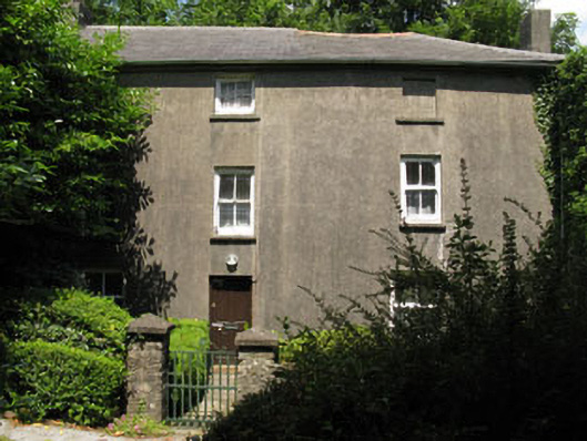 Castlelands Millmill (water) · 1128 yd
 The GlenWood · 2.2 mi
 Castle DerryCastle · 2.8 mi
 Tobar MacloonaboySpring · 3.1 mi
 Castle RockNamed rock · 3.4 mi
 Corran HillMountain / peak · 3.6 mi
 Green HillMountain / peak · 3.6 mi
 Irish National Forestry FoundationNature reserve · 3.8 mi
 Towers (in Ruins)House, fortified house · 5.1 mi