What is recorded here
About 15m from the W bank of a S-N stream. Archaeological excavation during 2007 at Tarduff East 1 as part of the Athlone to Ballinasloe N6 road development revealed a burnt mound (dims. 5.4m N-S; 4.3m E-W; max. T 0.15m) overlying a large subcircular trough (dims 1.95m E-W; 1.65m N-S; D 0.46m) and a sub-oval trough (dims. 1.25m N-S; 1.15m E-W; D 0.4m), both of which were slightly to the N of the burnt spread. Charcoal from the subcircular trough produced a C14 date of Cal. BC 702-395 BC while charcoal from the sub-oval trough was over a thousand years older with a C14 date of Cal. BC 2263-2030. Fulacht fia (RO052-110001-) is c. 15m to the NNE. (Conboy 2010b; 2010e, 9-10).
Compiled by: Michael Moore
Date of upload: 24 August 2010
Amended: 25 November, 2013
The monument record does not grant public access. Check the route and ask the landowner before entering private land.
- What survives
- Recorded monument
Places near here
 Sweathouse in MihanboySweathouse · 781 yd
 St Bridgets WellHoly well · 904 yd
 Drum ChurchChurch · 1021 yd
 KilnKiln, corn-drying · 1404 yd
 Castle QuarterCastle, unclassified · 2.4 mi
 CastlesampsonCastle, tower house · 3.3 mi
 Bastion GalleryGallery · 3.6 mi
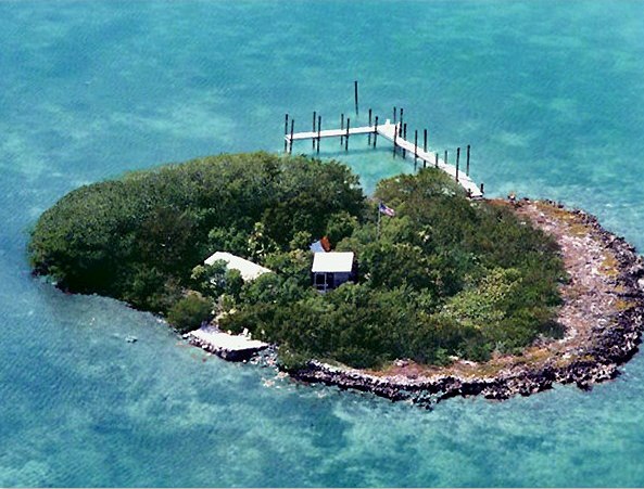 Charlie's IslandIslet · 3.6 mi
 Historic Town - Athlone Castle & Church of St Peter and PaulVisitor information · 3.6 mi
 Athlone CastleVisitor information · 3.6 mi
 Siege of Athlonesiege · 3.7 mi