What is recorded here
On low-lying, mostly level ground. Discovered during construction of Bruff-Mallow gas pipeline (Gowen 1988, 179). Spread of burnt material (L 14m; Wth 6-8m) adjacent to field fence which also contains burnt material. Low mound visible outside pipeline corridor to W. Second fulacht fiadh (11625) c. 17m to S.
The above description is derived from the published 'Archaeological Inventory of County Cork. Volume 4: North Cork' (Dublin: Stationery Office, 2000). In certain instances the entries have been revised and updated in the light of recent research.
Date of upload/revision: 14 January 2009
The monument record does not grant public access. Check the route and ask the landowner before entering private land.
- What survives
- Recorded monument
Places near here
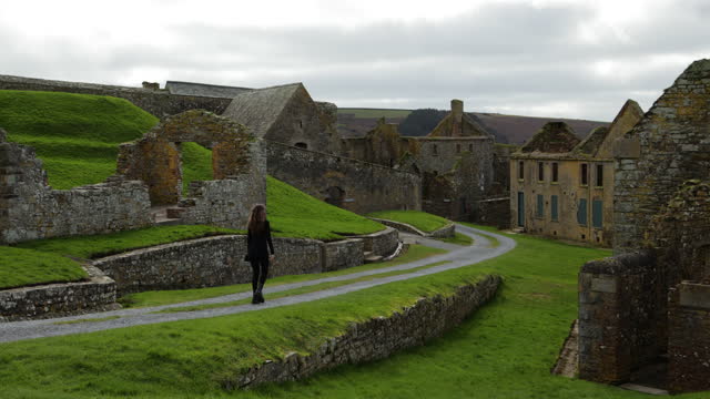 ExcavationExcavation, miscellaneous · 404 yd
 Castle (Site of)Castle, unclassified · 425 yd
 Grave YardChurch · 764 yd
 Scart Bridgebridge · 1270 yd
 CastleCastle, unclassified · 1637 yd
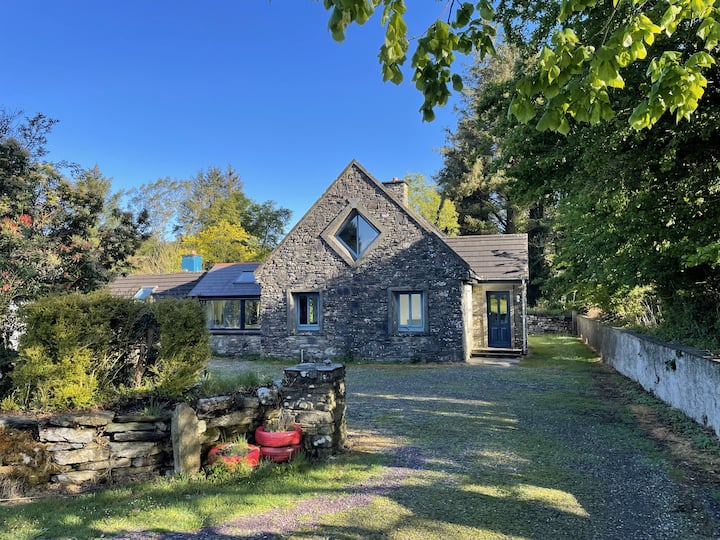 Enclosure in Ballyroe (orrery and Kilmore By.)Enclosure · 1.3 mi
 Ballyhoura WayWalking route · 1.4 mi
 Churchtown TrailsVisitor information · 3.2 mi
 Buttevant Rail DisasterMemorial · 3.4 mi
 David HurleyMemorial · 3.7 mi
 SycamoreSycamore · 3.7 mi
 Carron MountainMountain / peak · 4.8 mi