What is recorded here
On low-lying, mostly level ground. Discovered during construction of Bruff-Mallow gas pipeline (Gowen 1988, 179). Semicircular spread of burnt material (L 11.4m) extended 4m into pipeline corridor; main bulk of site, consisting of low, ill-defined mound, lay outside pipeline corridor to W. Second fulacht fiadh (11626) c. 17m to N.
The above description is derived from the published 'Archaeological Inventory of County Cork. Volume 4: North Cork' (Dublin: Stationery Office, 2000). In certain instances the entries have been revised and updated in the light of recent research.
Date of upload/revision: 14 January 2009
The monument record does not grant public access. Check the route and ask the landowner before entering private land.
- What survives
- Recorded monument
Places near here
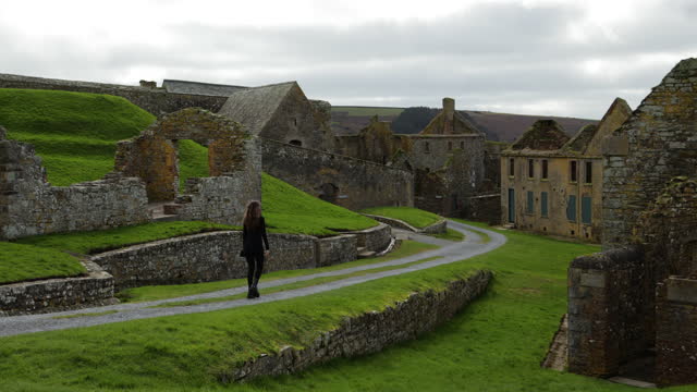 ExcavationExcavation, miscellaneous · 418 yd
 Castle (Site of)Castle, unclassified · 438 yd
 Grave YardChurch · 778 yd
 Scart Bridgebridge · 1273 yd
 CastleCastle, unclassified · 1630 yd
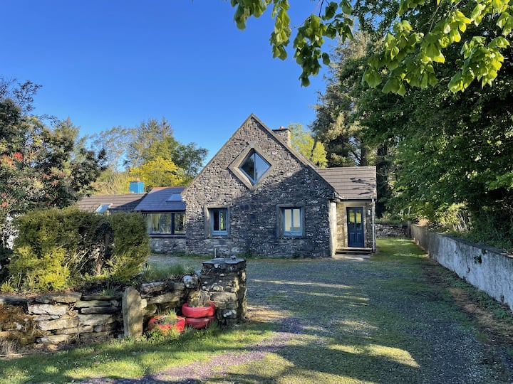 Enclosure in Ballyroe (orrery and Kilmore By.)Enclosure · 1.3 mi
 Ballyhoura WayWalking route · 1.4 mi
 Churchtown TrailsVisitor information · 3.2 mi
 Buttevant Rail DisasterMemorial · 3.4 mi
 David HurleyMemorial · 3.7 mi
 SycamoreSycamore · 3.7 mi
 Carron MountainMountain / peak · 4.8 mi