What is recorded here
Situated at the head of a SE-NW gully on the broad plateau of Platten. Archaeological excavation (E000973) recorded a triangular spread of broken and burnt stone (dims 19m E-W; 13m N-S; T 0.1-0.23m) with an oval trough (dims 2.2m NW-SE; 1.45m NE-SW; D 1m) at the SW edge that had four layers including organic remains (hazel nuts, seeds of blackberry, buttercup and nettle) from the lowest. A flint scraper was found at the E edge of the spread. The fulacht fia (ME020-029003-) is c. 50m to the E and the burnt mound (ME020-029001-) is c. 120m to the NNE. (Campbell 1994, 2, 3 site 1; 1995e, 73)
Compiled by: Michael Moore
Date of upload: 23 October, 2015
The monument record does not grant public access. Check the route and ask the landowner before entering private land.
- What survives
- Recorded monument
Places near here
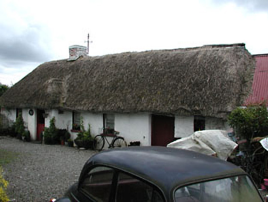 Boyne Valley Cottagefarm house · 650 yd
 Enclosure in CruicerathEnclosure · 675 yd
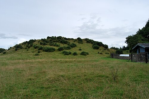
 Enclosure in StalleenEnclosure · 712 yd
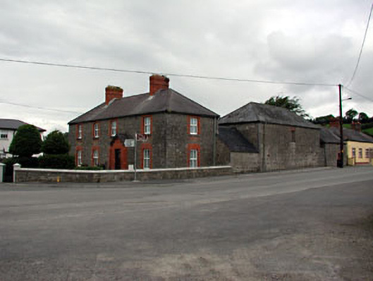 The Old Dispensaryhouse · 734 yd
 Glenmore ForestWood · 811 yd
 Brú na Bóinne Visitor Centre AccessHeritage attraction · 1.2 mi
 Dowth CastleCastle, tower house · 1.2 mi
 Platin HouseCastle, unclassified · 1.3 mi
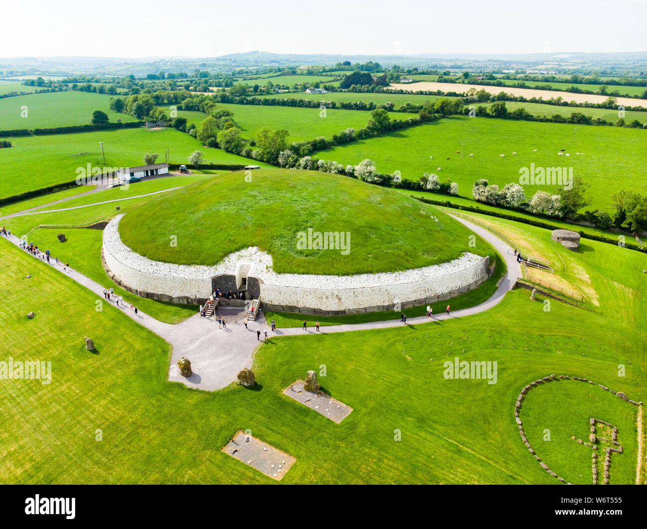
 DowthNeolithic passage tomb · 1.3 mi
 Brú na Bóinne Visitors CentreVisitor information · 1.3 mi
 European YewEuropean Yew · 1.6 mi
 Yellow IslandIslet · 1.7 mi