What is recorded here
Located in damp, rush-grown pasture, with rising ground to N-NE. A field drain/stream (Wth 4-5m; D 1.3m) lies 15m to SSW. This fulacht fia is visible as a low, sod-covered kidney-shaped mound (12.3m NW-SE; 11m NE-SW; H 0.5m) distinguished by its firm, dry condition from the surrounding soft, rush-grown ground. It is composed of a concentration of stone fragments in black soil. There is a shallow depression (3.5m NNE-SSW; c. 2m WNW-ESE) between the 'arms' of the mound at SSW, which may indicate the location of a trough. On the W side, a shallow depression (Wth 2m) separates the fulacht fia from another rise bordered by a low scarp (L 6m NNE–SSW; H 0.2-0.3m).
Compiled by: Jane O’ Shaughnessy
Date of upload: 4 February 2016
The monument record does not grant public access. Check the route and ask the landowner before entering private land.
- What survives
- Recorded monument
Places near here
 IndicatedFairy fort / earthen ringfort · 299 yd
 Glore Bridgebridge · 911 yd
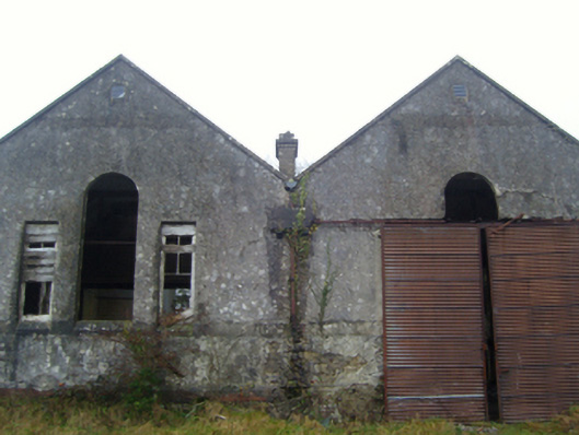 Lisduff National Schoolschool · 1078 yd
 Thorn CaveCave · 1.3 mi
 CrossCross · 1.3 mi
 I'll Send You The FareMemorial · 2.0 mi
 Kiltimagh MuseumMuseum · 2.1 mi
 Carrowbeg WoodWood · 3.9 mi
 CashlankeeghCastle, unclassified · 4.1 mi
 Castle in ruinsCastle, tower house · 4.6 mi
 Brabazon WoodsForest · 4.6 mi
 Youth Memorial GardenMemorial · 4.7 mi