
What is recorded here
Indicated is a fairy fort on a Mayo ridge where a hawthorn tree still stands in the grassy centre. Its earthen bank has become a field fence in places, but the NE gap and surrounding hazel keep the old shape visible. Local tradition speaks of a hidden passage beneath the rath, inviting wonder rather than certainty.
In pasture, located on a ridge, close to the break of slope on the SE side. There are good views over the surrounding terrain.
Slightly raised oval area (34.4m E−W; 28.5m N−S) defined by an earthen bank (Wth 3.4m; int. H 0.65m; ext. H 1.4m at N). At NE−SSW the bank is reduced to a scarp (2.5m at S) which has a steep slope enhanced by the natural slope of the ridge. At SSE−SSW the scarp is overlain by/ incorporated into a straight E−W field fence, and at SW−NW the bank itself serves as field fence. A low, slumped gap (Wth 3.7m) in the scarp at NE may mark an original entrance. According to local tradition, there is a ‘cave’ or Man-made underground passage (MA071-177001-) in the rath.
The rath interior is level and grassy, with a single hawthorn tree growing in the centre; the perimeter is densely ringed with hawthorn and hazel bushes.
Compiled by: Jane O’Shaughnessy
Date of upload: 18 September 2018
The monument record does not grant public access. Check the route and ask the landowner before entering private land.
- What survives
- Recorded monument
Places near here
 Glore Bridgebridge · 731 yd
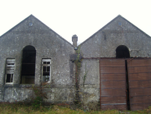 Lisduff National Schoolschool · 779 yd
 CrossCross · 1.2 mi
 Thorn CaveCave · 1.5 mi
 I'll Send You The FareMemorial · 1.9 mi
 Kiltimagh MuseumMuseum · 1.9 mi
 Enclosure in JohnsfortEnclosure · 2.4 mi
 Carrowbeg WoodWood · 3.8 mi
 CashlankeeghCastle, unclassified · 3.9 mi
 Castle in ruinsCastle, tower house · 4.7 mi
 Brabazon WoodsForest · 4.7 mi
 Youth Memorial GardenMemorial · 4.9 mi
Other information
Photo: Credit not shown in the picture search · Rights wording not checked; contact us if this picture should be removed