What is recorded here
Situated on a slight S-facing slope with a small silted hollow, probably a silted pond, just to the SE. Archaeological monitoring (15E0125) by S. McGlade in Phase 1 of the archaeological mitigation connected with a housing development identified a number of pits in a confined area (excavations.ie 2018: 032). These are the remnants of a fulacht fia and all the features were excavated under the original licence by the same archaeologist as the W fulacht fia. A rectangular trough (dims 1.2m x 0.9m; D 0.2m) with fairly steep sides has six stakeholes and a post-hole in the base. These indicate that the base was probably lined with wood. It had two original fills that might have been partly cleared out at N where a layer of broken and burnt stone, the last remnant of the mound, survived but there were no other features. (McGlade 2020, vol. 1, 44-5)
Compiled by: Michael Moore
Date of upload: 9 December 2021
The monument record does not grant public access. Check the route and ask the landowner before entering private land.
- What survives
- Recorded monument
Places near here
 Enclosure in Roestown (ratoath By.)Enclosure · 441 yd
 EnclosureEnclosure, large enclosure · 476 yd
 Dunshaughlin Civic Officesoffice · 843 yd
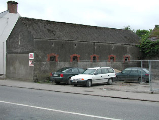 outbuildingoutbuilding · 1181 yd
 Killeen CastleCastle, tower house · 2.2 mi
 Laurel WoodsWood · 3.0 mi
 Dunsany CastleCastle, unclassified · 3.1 mi
 Dunsany WoodWood · 3.1 mi
 Lismahon 1798 MemorialMonument · 3.6 mi
 Emerald ParkHeritage attraction · 4.5 mi
 Battle of Tara Hillbattle · 5.0 mi
 Battle of Tara (Ireland)Major battlefield · 5.0 mi