What is recorded here
Discovered prior to road construction (Excavation Licence No. 00E0796), beside a stream above an area of fen peat on a gentle S-facing slope. A deposit (15m x 8m; D 0.4m) consisting largely of charcoal, ash and burnt sandstone was initially exposed. Removal of this layer revealed a trough and four circular pits which possibly functioned as hearths. The trough was rectangular shaped (2m x 1.4m; max. D 0.55m), filled with the burnt mound material and had the impressions of at least three wooden planks at its base. A convex scraper was recovered from one of the four pits. (Ó Drisceoil 2002, 238)
Compiled by: Claire Breen
Date of upload: 20 July 2012
The monument record does not grant public access. Check the route and ask the landowner before entering private land.
- What survives
- Recorded monument
Places near here
 Fulacht fia in CoolforeFulacht fia · 112 yd
 Structure in BalgatheranStructure · 516 yd
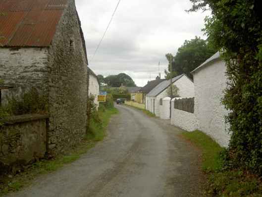 outbuildingoutbuilding · 1183 yd
 Monasterboice Ho.House, medieval · 1379 yd
 MonasterboiceEarly monastic site · 1733 yd
 Muiredach's High CrossHeritage attraction · 1758 yd
 Drummond TowerCastle · 1.2 mi
 BarabonaMountain / peak · 1.3 mi
 Quarry Garden WoodForest · 2.4 mi
 Hurcle HillMountain / peak · 2.4 mi
 School WoodForest · 2.5 mi
 CastleCastle, unclassified · 2.7 mi