What is recorded here
At the base of a South West facing slope, on rough marshy ground. Stream nearby to the south. Overgrown with oak, ash and holly trees. Locally known as a raheen. A U-shaped mound of burnt stone, (12m NNW - SSE; 10.5m ENE-WSW; H 40-50cm) open to the WSW. On top of the mound material are several damaged granite blocks (apparently quarried), from W to N, which give the initial impression of a stone enclosing element, but they are know doubt dumped here in comparatively modern times.
Compiled by: Chris Corlett
Date of upload: 19 October 2012
The monument record does not grant public access. Check the route and ask the landowner before entering private land.
- What survives
- Recorded monument
Places near here
 Workers GreenMemorial · 658 yd
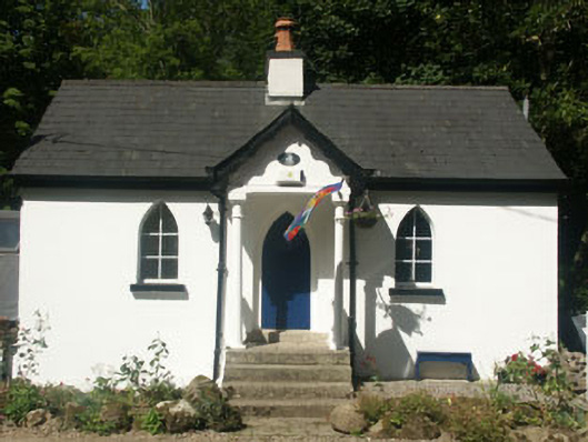 Cronybyrne Housegate lodge · 684 yd
 BallinastrawMountain / peak · 1759 yd
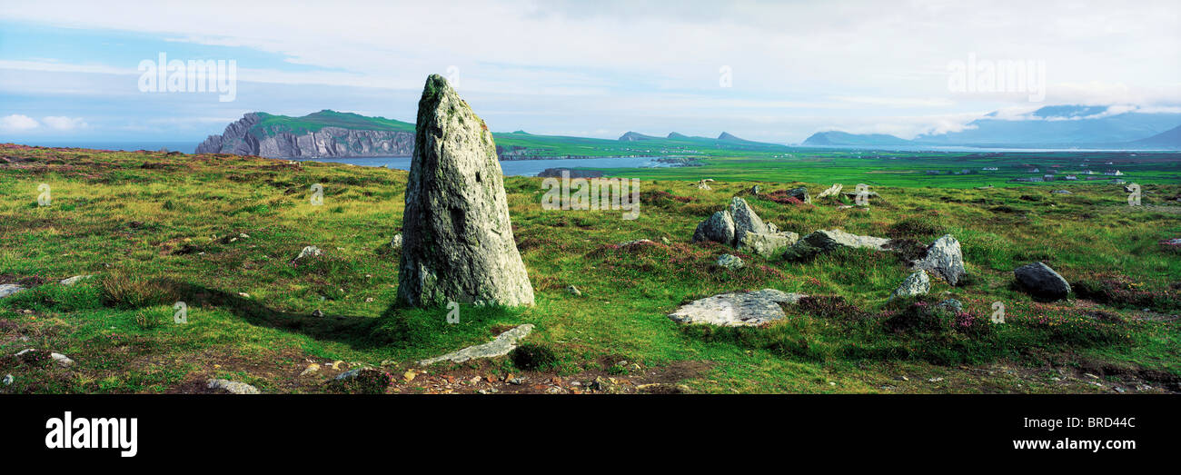 Vale of Clara Nature ReserveNature reserve · 1.3 mi
 Ladys WellHoly well · 1.6 mi
 Castle in ruinsCastle, tower house · 1.7 mi
 Enclosure in Aghowle Upper (newcastle By.)Enclosure · 1.9 mi
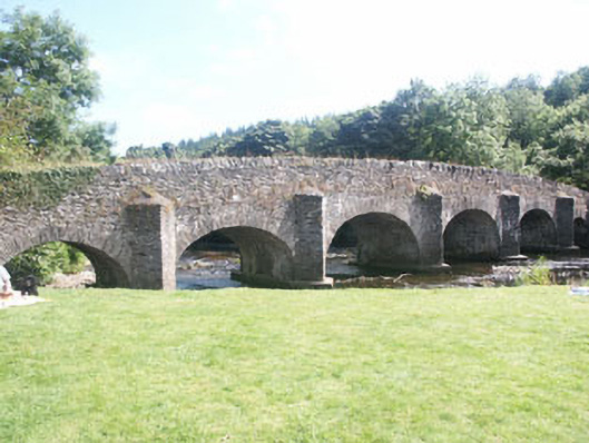 Clara Bridgebridge · 1.9 mi
 Carrick MountainMountain / peak · 2.2 mi
 Native WoodlandWood · 2.3 mi
 Knockrath Castle (in ruins)Castle, tower house · 2.8 mi
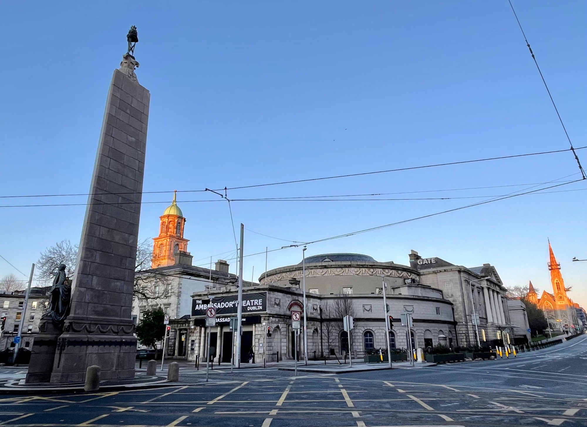 Parnell MonumentMemorial · 3.3 mi