What is recorded here
According to local information, three spreads of burnt material in close proximity are visible after ploughing. Field under tillage when visited; no visible surface trace.
The above description is derived from the published 'Archaeological Inventory of County Cork. Volume 2: East and South Cork' (Dublin: Stationery Office, 1994). In certain instances the entries have been revised and updated in the light of recent research.
Date of upload/revision: 14 January 2009
The monument record does not grant public access. Check the route and ask the landowner before entering private land.
- What survives
- Recorded monument
Places near here
 KilnKiln, corn-drying · 894 yd
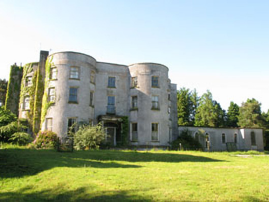 Old Courtcountry house · 1059 yd
 Pauper's GraveyardArchaeological place · 1391 yd
 CrossMonument · 1398 yd
 Mulcon ValleyWood · 1731 yd
 Enclosure in RaheeneringEnclosure · 1.1 mi
 Ronayns CourtHouse, fortified house · 1.3 mi
 Castle Treasure (Site of)Castle, unclassified · 1.3 mi
 Rochestown WoodWood · 1.4 mi
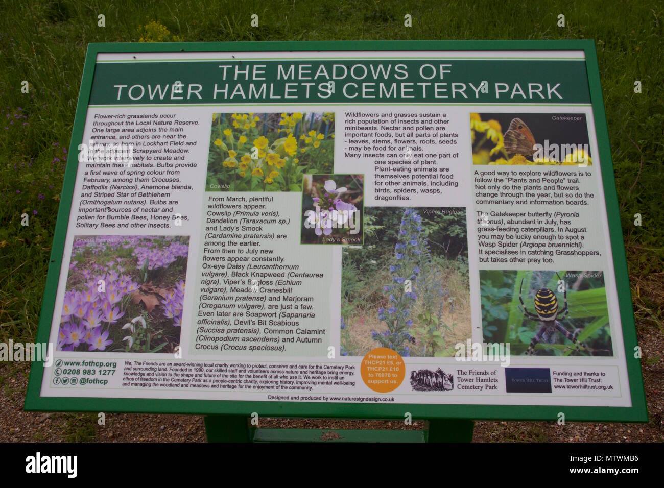 Wildlife and plant information boardsVisitor information · 1.9 mi
 Grey GalleryGallery · 1.9 mi
 Goat IslandIslet · 2.1 mi