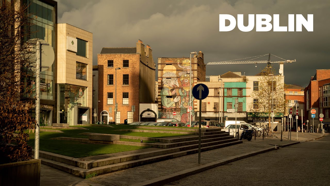
What is recorded here
Situated in low-lying pastureland. Investigations for the North-Eastern Gas Pipeline, Phase 2, 1988, revealed a spread of charcoal-flecked soil containing fire-reddened stone (L 2.4m; Wth.2.4m; D 0.5m; Gowen 1989, 23).
Compiled by: Geraldine Stout
Date of upload: 26 August 2011
The monument record does not grant public access. Check the route and ask the landowner before entering private land.
- What survives
- Recorded monument
Places near here
 Enclosure in DermotstownEnclosure · 723 yd
 QuarryQuarry · 751 yd
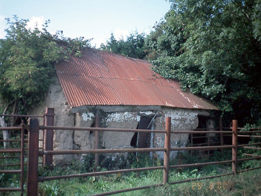 farmyard complexfarmyard complex · 763 yd
 Burnt pit in Newtown (balrothery West By., Ballyboghil Ed)Burnt pit · 1042 yd
 Clonard SpringSpring · 1477 yd
 Castle (remains of)Castle, tower house · 1.2 mi
 Wavin LakesNature reserve · 1.2 mi
 Balrothery TowerCastle · 1.5 mi
 Balrothery Heritage CentreMuseum · 1.5 mi
 Flat cemetery in DarcystownFlat cemetery · 1.8 mi
 Balbriggan Tourist OfficeVisitor information · 2.0 mi
 KnockbrackMountain / peak · 2.1 mi
Other information
Photo: Credit not shown in the picture search · Rights wording not checked; contact us if this picture should be removed