What is recorded here
In tillage, c. 45m W of stream. Oval spread of burnt material (14m x 12m). Second fulacht fiadh (CO073-100----) c. 23m to SSE.
The above description is derived from the published 'Archaeological Inventory of County Cork. Volume 3: Mid Cork' (Dublin: Stationery Office, 1997). In certain instances the entries have been revised and updated in the light of recent research.
Date of upload/revision: 14 January 2009
The monument record does not grant public access. Check the route and ask the landowner before entering private land.
- What survives
- Recorded monument
Places near here
 Maglin HouseCountry house · 711 yd
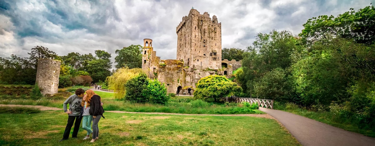 Enclosure in CarrigrohaneEnclosure · 724 yd
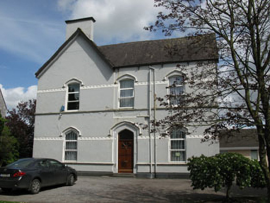 Ballincollig Presbyterypresbytery/parochial/curate's house · 789 yd
 Man-made underground passage in CarrigrohaneMan-made underground passage · 798 yd
 Patrick BurnsMemorial · 1010 yd
 Cave in Ballincollig (muskerry East By., Carrigrohane Par.)Cave · 1165 yd
 Ballincollig Castle (in Ruins)Castle, tower house · 1172 yd
 Ballincollig CastleCastle · 1186 yd
 Sunday WellSpring · 1.1 mi
 Stone BeachBeach / strand · 1.2 mi
 Graveyard in BallynoraGraveyard · 1.9 mi
 Murphy's FarmHeritage attraction · 2.0 mi