What is recorded here
Pre-development excavations in 2003 revealed a fulacht fia. It was located in a low-lying field near a stream. It appeared as a spread of charcoal -rich soil with burnt stone (L 5m, Wth 3.4m, ). A total of 89 features were identified during the excavation including a large cut that contained two layers of burnt stone material. These sealed a layer containing well preserved organic material including leaves, nuts and other macro-fossils. An earth-cut trough was identified in the SW corner of the site associated with stake-holes (Larsson, E 2006, 171).
Compiled by: Geraldine Stout
Date of upload: 26 August 2011
The monument record does not grant public access. Check the route and ask the landowner before entering private land.
- What survives
- Recorded monument
Places near here
 Pit in LuskPit · 424 yd
 Kiln in LuskKiln · 449 yd
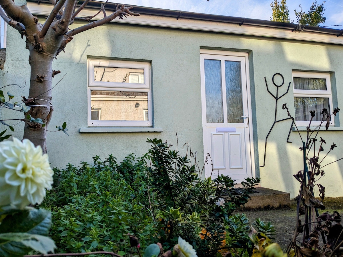 Habitation site in Ballough (g, Part Of)Habitation site · 483 yd
 LuskMemorial · 484 yd
 Joe’s BridgeMemorial · 519 yd
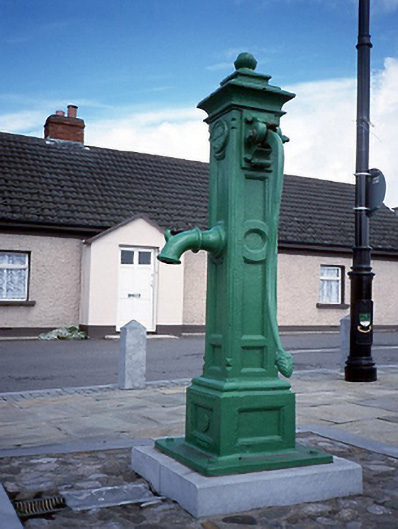 water pumpwater pump · 593 yd
 CastleCastle, unclassified · 1.0 mi
 Castle (in ruins)Castle, Anglo-Norman masonry castle · 2.1 mi
 Picnic AreaPicnic place · 2.4 mi
 Turvey Allotments and Nature ReserveNature reserve · 2.4 mi
 Roseville Business ParkVisitor information · 2.9 mi
 Newbridge House and DemesneHeritage attraction · 3.0 mi