What is recorded here
This site lay on rising ground, 6m from a stream with bogland to the W. It comprised a circular spread of charcoal (18m x 4m) and fist-sized pieces of sandstone which ran underneath the baulk and outside the corridor. The loam was stained dark by the charcoal and appeared to contain a stone setting or trough (1m x 0.7m) with a gap of c. 0.3-0.4m between the stones. Both charcoal and stone lay 0.2m below the sod layer and had a depth of 0.1m, with an underlying layer of grey/black ash which was visible around the stone setting.
The above description is derived from the published 'Archaeological Inventory of County Cavan' (Dublin: Stationery Office, 1995). In certain instances the entries have been revised and updated in the light of recent research.
Date of upload/revision: 22 December 2008
The monument record does not grant public access. Check the route and ask the landowner before entering private land.
- What survives
- Recorded monument
Places near here
 Fairy fort / ringfort in CarrigabruseFairy fort / ringfort · 839 yd
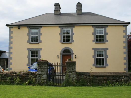 Pollintemple Housefarm house · 1756 yd
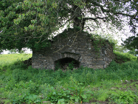 kilnkiln · 1.1 mi
 Site of RC ChurchArchaeological place · 1.1 mi
 Georges IslandsIslet · 1.3 mi
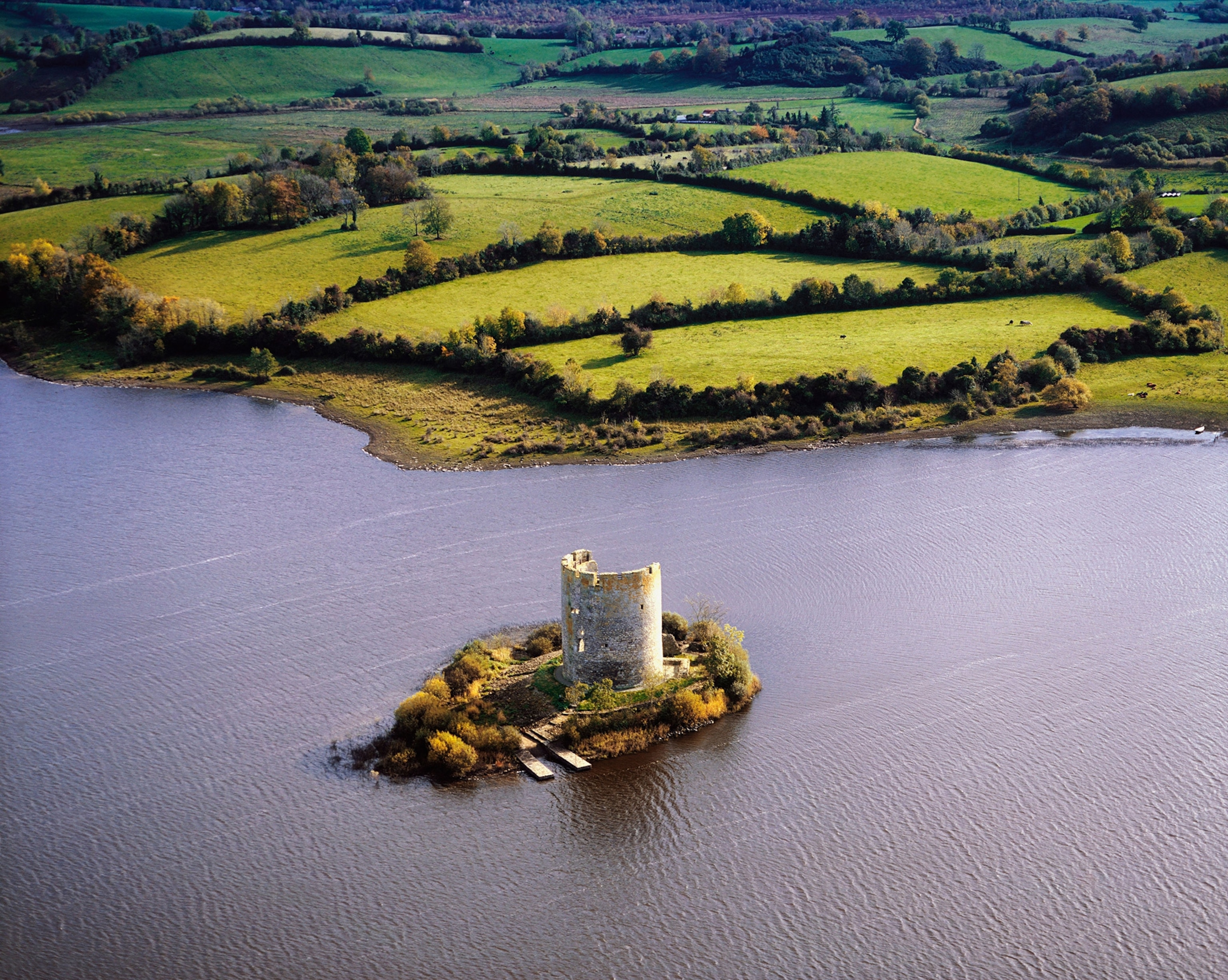 Woodworth's IslandIslet · 1.4 mi
 Cloghbally LowerMountain / peak · 1.4 mi
 RahardrumCastle, unclassified · 1.7 mi
 Sessile OakSessile Oak · 2.0 mi
 Rahardrum Sand BankWood · 2.1 mi
 Ramor Aontaithe C.L.G. Dolan ParkMemorial · 2.1 mi
 Cornaglare or PalmiraMountain / peak · 2.2 mi