What is recorded here
Low irregularly-shaped mound (H 0.2m) of burnt material in rough grazing. (Walsh 1985, 67, 114).
The above description is derived from the published 'Archaeological Inventory of County Cork. Volume 2: East and South Cork' (Dublin: Stationery Office, 1994). In certain instances the entries have been revised and updated in the light of recent research.
Date of upload/revision: 14 January 2009
The monument record does not grant public access. Check the route and ask the landowner before entering private land.
- What survives
- Recorded monument
Places near here
 Grave YdGraveyard · 971 yd
 Glanmire Heritage SocietyMemorial · 998 yd
 Rathcooney HouseCountry house · 1120 yd
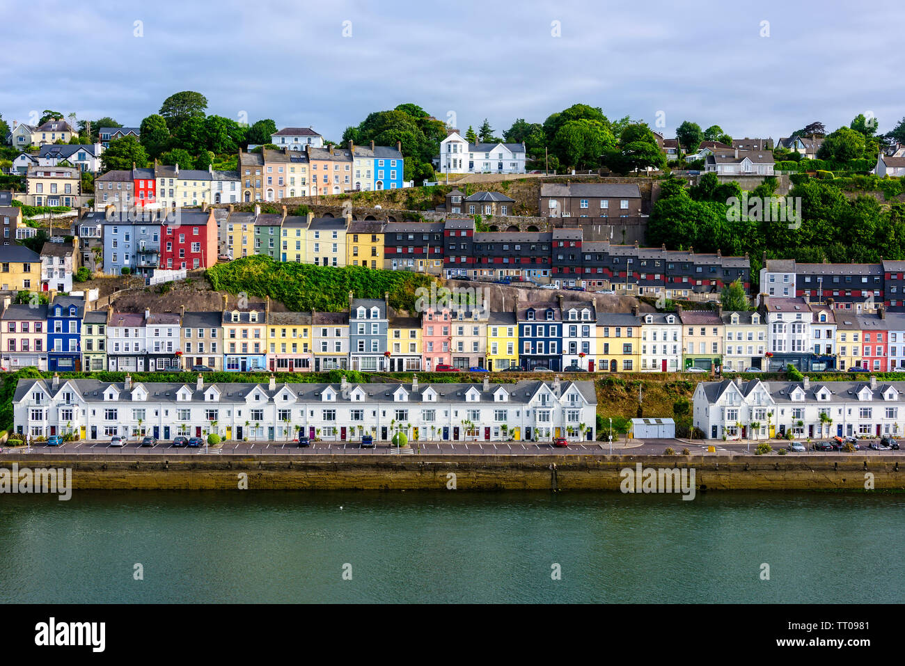 IndicatedEnclosure · 1409 yd
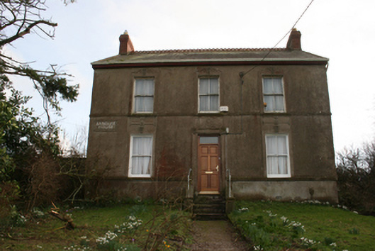 Banduff Househouse · 1510 yd
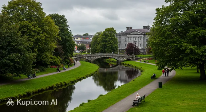 Tinker's Cross ParkMemorial · 1.1 mi
 Cork WalksVisitor information · 1.2 mi
 Murphy's RockViewpoint · 1.4 mi
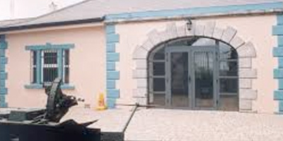 Collins Barracks Military MuseumMuseum · 2.1 mi
 Sarsfields Court (in Ruins)Castle, unclassified · 2.2 mi
 Cork Folklore ProjectMuseum · 2.6 mi
 Man-made underground passage in Ballincrokig (cork By., St. Anne’s Shandon Par.)Man-made underground passage · 1528 yd