What is recorded here
Located on the SW-facing slope of a hill. Archaeological monitoring (E004661) during the construction phase of the N25 New Ross bypass in May 2017 identified an archaeological area which was subsequently completely excavated (E004869) as Lacken 4 (excavations.ie 2017:203) when it proved to be a fulacht fia. The earliest feature is a small pit (diam. 1.2m; D 0.2m) filled with black ash, from which a fragment of oak charcoal produced a C14 date of 1945-1771 cal. BC, but old wood may be a factor. A small collection of stake-holes c. 10m to the SW also produced an early C14 date of 2012-1771 cal. BC from a piece of hazel charcoal, and two pits (dims 1.25m x 0.9m; D 0.18m: 2.38m x 0.86m; D 0.1m) c. 10m further to the SW are probably contemporary.
A channel (L 2m; Wth 1.34m; D 0.66m) ran through the mound, extending SE-NW and was filled with silts and run-off of mound material, but its SE end was cut by a pit (dims 2.46m x 2.2m; D 0.25m) that had seven stakeholes along its base at E so it may have been a trough. A sample of willow charcoal from a primary fill of the channel returned a C14 date of 1494-1271 cal. BC, but a sample of willow charcoal from the trough yielded a C14 date of 896-804 cal. BC, so the trough is secondary. The channel is also cut further SE by a pear-shaped trough (dims 3.7m x 3m; D 0.64m) with 14 stakeholes cut into the floor of its N part, which the excavator interprets as a primitive sweathouse. Layers of re-deposited subsoil to the W and E of this pit are probably upcast from its construction. The pit is filed with layers of charcoal-stained clay and silt with burnt stone sealed by the burnt mound spread. A fragment of willow charcoal from the base of the pit yielded a C14 date of 828-782 cal. BC. The mound is composed of 49 deposits of broken and burnt stone interleaved with silts and redeposits of subsoil creating a large spread (dims 15.7m x 11.5m; max. T 0.35m). A sample of hazel charcoal from the base of the mound produced a C14 date of 1622-1431 cal. BC, but it has no contemporary trough associated with it. The upper level of the mound was cut by a ENE-WSW linear pit (L 6m plus; Wth 3.25m; D 0.64m) which was not cut by any other features. A fragment of charcoal from it yielded a C14 date of 1125-934 cal. BC. Oak dominated the wood identification, followed by hazel and willow. (Whitty and Kavanagh 2019)
Compiled by: Michael Moore
Date of upload; 18 November 2020
The monument record does not grant public access. Check the route and ask the landowner before entering private land.
- What survives
- Recorded monument
Places near here
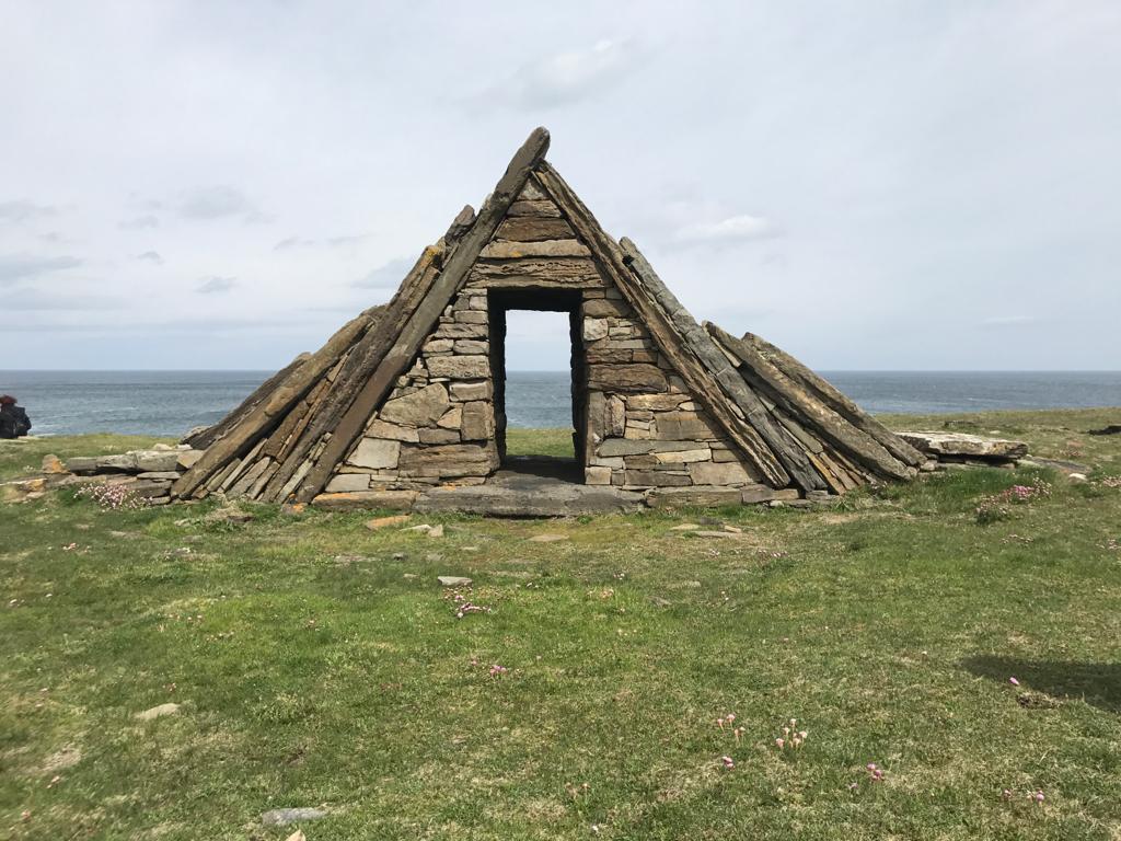 Embanked enclosureFairy fort / earthen ringfort · 572 yd
 Site of CastleCastle, unclassified · 598 yd
 TobercarrigeenHoly well · 606 yd
 Forest Of The DunbrodyForest · 1009 yd
 Lacken HillMountain / peak · 1155 yd
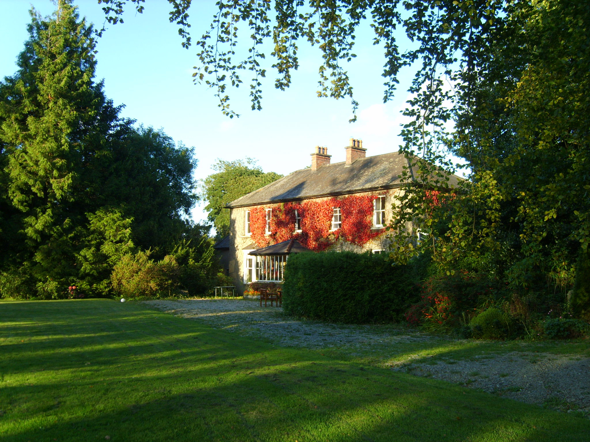 Knockroe Housefarm house · 1384 yd
 Castle (in ruins)Castle, unclassified · 1522 yd
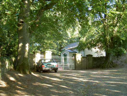 Berkeley Forest Housegates/railings/walls · 1585 yd
 Crutched FriarsMemorial · 3.3 mi
 Silver WattleSilver Wattle · 4.4 mi
 Carrickbyrne HillMountain / peak · 4.5 mi
 Kennedy HomesteadHeritage attraction · 6.1 mi