What is recorded here
In wet pasture, on a level area, just above stream flowing roughly N-S c. 18m to WSW. It is possibly conjoined to fulacht fiadh (TS063-076----) 1.5m to NNE. Fulacht fiadh (TS063-075----) is c. 26m to NNE. A sub-triangular mound (overall dims. L 6m at NNE; L 6m at SE; L 5.8m at SW) with an oval depression (dims. 5m NW-SE; 3m NE-SW) in the centre which may be a modified trough. There is a possible modified opening (Wth 1.9m) mid-way along the SW side. The mound is best preserved (H 0.45m) on the SW side and low (H 0.25m) on the SE and NE sides.
Compiled by: Jean Farrelly
Date of upload: 26 August 2011
The monument record does not grant public access. Check the route and ask the landowner before entering private land.
- What survives
- Recorded monument
Places near here
 Knockuragh HillMountain / peak · 873 yd
 (Site of) Drangan CastleCastle, unclassified · 911 yd
 Dangan Church (in ruins)Church · 1087 yd
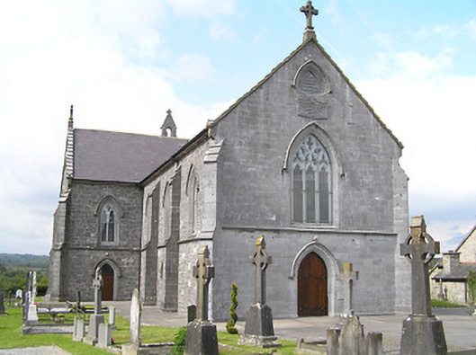 Catholic Church of the Immaculate Conceptionchurch/chapel · 1101 yd
 Enclosure in Knockroe (drangan Par.)Enclosure · 1646 yd
 Site of ChurchChurch · 1714 yd
 CastleCastle, ringwork and bailey · 2.0 mi
 Eagle HillMountain / peak · 2.5 mi
 Fenane WoodForest · 2.5 mi
 Silver FirSilver Fir · 3.5 mi
 Slieveardagh Heritage CentreVisitor information · 4.9 mi
 The SpoutMemorial · 6.0 mi