What is recorded here
In wet pasture, on a level area, just above a stream flowing roughly N-S c. 18m to the WSW. Possibly conjoined to fulacht fiadh (TS063-077----) 1.5m to SSW. Fulacht fiadh (TS063-075----) is located c. 20m to NNE. A kidney-shaped mound (dims. of chord: c. 6.5m ESE-WNW; 4.75m NNW-SSE) best preserved at WNW and NNW sides (H 0.45m) and low in profile (H 0.15m) at the ESEs end. The arms of the mound are truncated at the WSW and ENE ends. The trough probably opened to the SSW.
Compiled by: Jean Farrelly
Date of upload: 26 August 2011
The monument record does not grant public access. Check the route and ask the landowner before entering private land.
- What survives
- Recorded monument
Places near here
 Knockuragh HillMountain / peak · 870 yd
 (Site of) Drangan CastleCastle, unclassified · 918 yd
 Dangan Church (in ruins)Church · 1094 yd
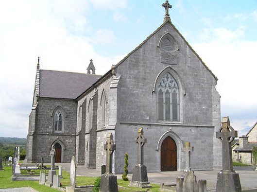 Catholic Church of the Immaculate Conceptionchurch/chapel · 1109 yd
 Enclosure in Knockroe (drangan Par.)Enclosure · 1650 yd
 Site of ChurchChurch · 1704 yd
 CastleCastle, ringwork and bailey · 2.0 mi
 Eagle HillMountain / peak · 2.5 mi
 Fenane WoodForest · 2.5 mi
 Silver FirSilver Fir · 3.5 mi
 Slieveardagh Heritage CentreVisitor information · 4.9 mi
 The SpoutMemorial · 5.9 mi