What is recorded here
Discovered prior to road construction (Excavation Licence No. 98E0125 (Site G)). Excavation uncovered three circular hollow areas which were filled with burnt stones and charcoal rich soil. (Breen 2000, 153)
Compiled by: Claire Breen
Date of upload: 31 May 2012
The monument record does not grant public access. Check the route and ask the landowner before entering private land.
- What survives
- Recorded monument
Places near here
 Fulacht fia in CookstownFulacht fia · 199 yd
 Site of Cookstown CastleCastle, unclassified · 968 yd
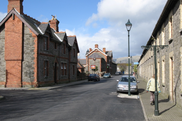 Enclosure in CardistownEnclosure · 1230 yd
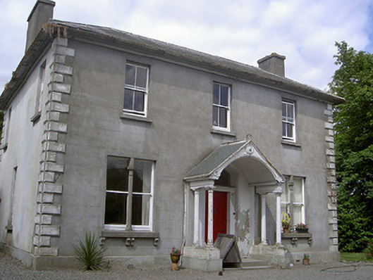 Arthurstown Housepresbytery/parochial/curate's house · 1374 yd
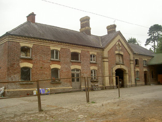 Cardistown Housefarmyard complex · 1447 yd
 CastleCastle, unclassified · 1.6 mi
 Long PlantationForest · 2.0 mi
 Matthew's HillMountain / peak · 2.8 mi
 English hollyEnglish holly · 2.8 mi
 Yellow HillMountain / peak · 3.2 mi
 Flat cemetery in AnnaheanFlat cemetery · 3.2 mi
 Sir Frederick Foster MemorialMemorial · 3.3 mi