What is recorded here
In marshy pasture, on a gentle SE-facing slope. A crescent-shaped mound of burnt material, truncated on its N side by an E-W field boundary; the mound (H 1.5m) extends out 14.5m from the field boundary and its max. width is 23m The opening faces E, where the mound partially surrounds a water-filled oval depression (4m N-S; 8.8m E-W).
Compiled by: Denis Power
Date of upload: 26 August 2011
The monument record does not grant public access. Check the route and ask the landowner before entering private land.
- What survives
- Recorded monument
Places near here
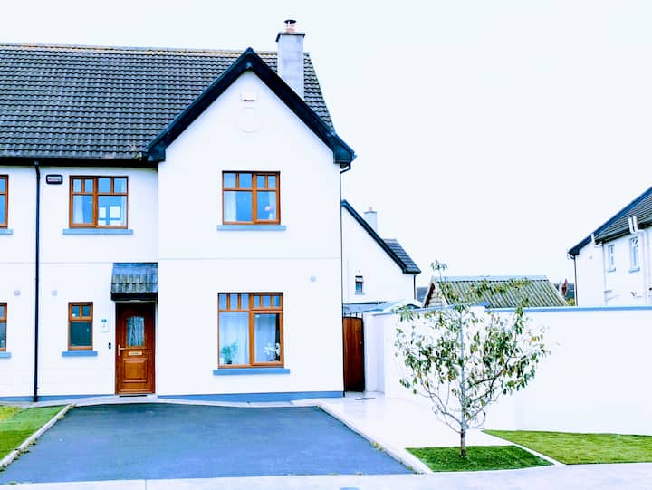 LisnagryArchaeological place · 1650 yd
 Enclosure in Killeany MoreEnclosure · 1742 yd
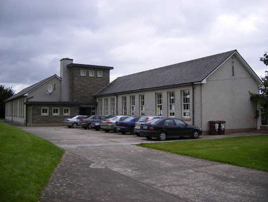 Saint Fergus's National Schoolschool · 1.1 mi
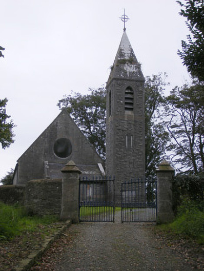 Saint Paul's Church (Kilfergus)church/chapel · 1.2 mi
 Glin CastleCastle · 1.4 mi
 Bawn in Killacolla (barker)Bawn · 1.4 mi
 TobercloonaghSpring · 2.4 mi
 Prospect HillMountain / peak · 2.7 mi
 Mountshannon WoodWood · 3.4 mi
 Tarbet BayBay · 3.6 mi
 Mountshannon PointHeadland · 3.7 mi
 Mountshannon EstateHeritage attraction · 4.7 mi