What is recorded here
A small pit or fulacht fiadh-type feature was archaeologically excavated (Licence No. 01E0824). The site was detected as a small spread of heat-shattered stone at the western limit of the pipeline corridor during the monitoring of topsoil-stripping for the Hollybrook-Wicklow Bord Gáis Éireann pipeline. Excavation revealed a small oval pit, which measured 0.86m north-south by 1.08m. The cut possessed gently sloping sides and a flat base with a depth of 0.22m. It was cut into natural subsoil. The fill consisted of a moderately compact greyish-black sandy clay with inclusions of frequent medium-sized stones, which were a mix of mainly heat-shattered granite and sandstone. No additional archaeological features were noted in the immediate area. Conversations with the landowner confirmed the impression that the excavated material at Killoughter was merely an outlying element of a larger fulacht fiadh. According to the landowner, several spreads of burnt material were present in the field immediately to the west of the excavated feature. At the time of pipeline construction this field was under pasture (Bennett 2003, 422).
Date of upload: 30 September 2012
The monument record does not grant public access. Check the route and ask the landowner before entering private land.
- What survives
- Recorded monument
Places near here
 Church (in Ruins)Church · 671 yd
 Enclosure in ClonmannanEnclosure · 774 yd
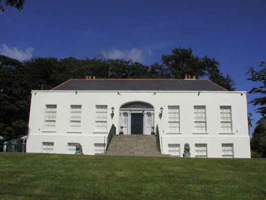 Killoughter Housecountry house · 774 yd
 Enclosure in KilloughterEnclosure · 872 yd
 European YewEuropean Yew · 1.7 mi
 CastleCastle, ringwork · 1.7 mi
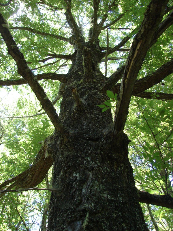 Rauli beechRauli beech · 1.7 mi
 Round MountCastle, motte · 3.2 mi
 Devil's Glen WaterfallWaterfall · 3.8 mi
 Leamore StrandBeach / strand · 4.2 mi
 Glen Beach Cliff WalkWalking route · 4.6 mi
 Carrick MountainMountain / peak · 4.8 mi