What is recorded here
Fulacht fia in Killoran (Moyne parish) is a fulacht fia in Killoran (Moyne parish), County Tipperary, Ireland. Topsoil stripping revealed several intercutting troughs beneath a truncated horseshoe-shaped spread of burnt sandstone, silt and charcoal. The earliest trough formed a subrectangular pit about 1.6 metres long, 1.55 metres wide and 0.47 metres deep, with a circular base depression that supplied water. Later cuts repeatedly tried to enlarge that first trough.
Situated on flat ground in undulating countryside. The site was revealed during topsoil stripping and consisted of several intercutting troughs sealed by a truncated horseshoe-shaped spread (dims. 15m E-W x 5m N-S; D 0.17m) of burnt sandstone, silt and charcoal. The earliest trough (dims. c.L 1.6m; Wth 1.55m; D 0.47m) consisted of a subrectangular pit, the base of which had a circular depression which acted as a well or sump for a water supply. The trough fill consisted of fire-cracked stone in charcoal-rich peat and large flags possibly representing the trough lining. The second trough consisted of several attempts at recutting the trough in an attempt to enlarge the earlier trough. (Stevens 2000, 198)
Compiled by: Caimin O'Brien.
Date of upload: 22 September 2008
The monument record does not grant public access. Check the route and ask the landowner before entering private land.
- What survives
- Recorded monument
Places near here
 Killoran Housecountry house · 274 yd
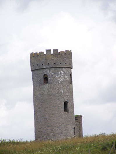 Killoran Towerfolly · 646 yd
 Fulacht fia in DerryvilleFulacht fia · 1.0 mi
 Burnt spread in DerryvilleBurnt spread · 1.1 mi
 Castle (in ruins)Castle, tower house · 1.8 mi
 LisdonowleyCastle, ringwork · 1.8 mi
 Tullow HillMountain / peak · 3.3 mi
 Cnoc SeanrathaMemorial · 5.5 mi
 St. Mary's Famine and War MuseumMuseum · 6.7 mi
 Famine & War MuseumMuseum · 6.8 mi
 European ashEuropean ash · 7.0 mi
 WoodlandWood · 7.3 mi