What is recorded here
Visible on aerial photograph (GSI N 385). In a low-lying depression, drained by a small, NW-flowing stream. Barely visible at ground level, and ossibly levelled during local land improvement works: the field boundary shown on both eds. (1838 and 1939) of the OS 6-inch map to the N has also been removed. Sub-surface features may, however, survive intact.
Compiled by: Gearóid Conroy
Date of upload: 10 June 2011
The monument record does not grant public access. Check the route and ask the landowner before entering private land.
- What survives
- Recorded monument
Places near here
 McCullagh's WoodWood · 582 yd
 Enclosure in Greenhills (kill Ed)Enclosure · 824 yd
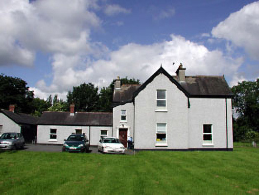 Marsville Househouse · 930 yd
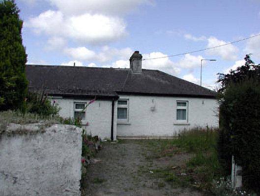 Riversidehouse · 968 yd
 Ecclesiastical site in Kill WestEcclesiastical site · 1060 yd
 Kill MoatCastle, motte and bailey · 1463 yd
 Common LimeCommon Lime · 1.3 mi
 Hartwell CastleCastle, unclassified · 1.4 mi
 Oughterard Round TowerHeritage attraction · 2.3 mi
 Arthur Guinness GraveMemorial · 2.3 mi
 Athgoe HillMountain / peak · 4.4 mi
 Cupidstown HillMountain / peak · 4.8 mi