
What is recorded here
On level, wet pasture. A large, circular area (diam 53m) is defined by a low, poorly preserved, inner earthen bank (Wth 2.9-6.1m; int H 0.3-0.5m; ext H 0.2-1m) and a narrow, shallow, outer fosse (Wth 1.1-1.7m; D 0.2m). A gap in the bank at NE (Wth 1.5m) may be an original entrance and was noted in 1959 (SMR File). Further gaps occur at NW (Wth 1.3m) and SE (Wth 1.2m), and there are two gaps at SW (Wths 1.8m and 2.1m), all of which appear to be relatively modern. The enclosing elements are covered in ash trees, thorn and briar. The level interior is clear of overgrowth apart from a small stand of trees at W, but is disturbed by the digging out of three small ponds; one dry but rush-filed at WNW (dims. L 8m; Wth 6m; D 0.2-0.4m), a second to W of centre (dims. L 4.3m; Wth 3.2m; D 0.5m), and a third at SW (dims. L 3.3m; Wth 2.3m; D 0.5m) both containing water. A large, disused lunging-ring (for schooling horses) abuts the site at N and shares the enclosure's fosse in this area.
Compiled by: Gearóid Conroy
Date of upload: 10 June 2011
A local fairy fort (ringfort/rath); wider significance not recorded.
The monument record does not grant public access. Check the route and ask the landowner before entering private land.
- What survives
- Recorded monument
Places near here
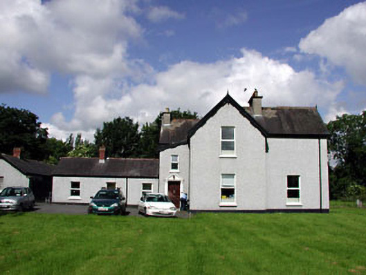 Marsville Househouse · 1218 yd
 McCullagh's WoodWood · 1227 yd
 Ecclesiastical site in Kill WestEcclesiastical site · 1296 yd
 Saint John's Church (Kill)church/chapel · 1300 yd
 Enclosure in Hartwell UpperEnclosure · 1467 yd
 Kill MoatCastle, motte and bailey · 1646 yd
 Hartwell CastleCastle, unclassified · 1.2 mi
 European YewEuropean Yew · 1.6 mi
 Athgoe HillMountain / peak · 4.8 mi
 Cupidstown HillMountain / peak · 4.9 mi
 Saint Finian's WellSpring · 5.3 mi
 Grand Canal WayWalking route · 6.7 mi
Other information
Photo: Credit not shown in the picture search · Rights wording not checked; contact us if this picture should be removed