What is recorded here
Situated in a hollow in an undulating landscape. Archaeological monitoring (02E0228) of a golf development identified a burnt mound consisting of an area of dark soil (dims 8.5m E-W; 5m N-S) with burnt sandstone and charcoal inclusions which constituted only the edge of a slightly raised circular area (diam. c. 20m) just SE of motte (ME048-005----). The golf course was re-designed in the vicinity and a fallow buffer provided around the monument. (Clutterbuck 2003, 2004)
Compiled by: Michael Moore
Date of upload: 14 August 2019
The monument record does not grant public access. Check the route and ask the landowner before entering private land.
- What survives
- Recorded monument
Places near here
 CastleCastle, motte · 51 yd
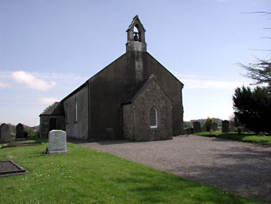 Saint Ultan's Church (Rathcore)church/chapel · 1107 yd
 Font in RathcoreFont · 1116 yd
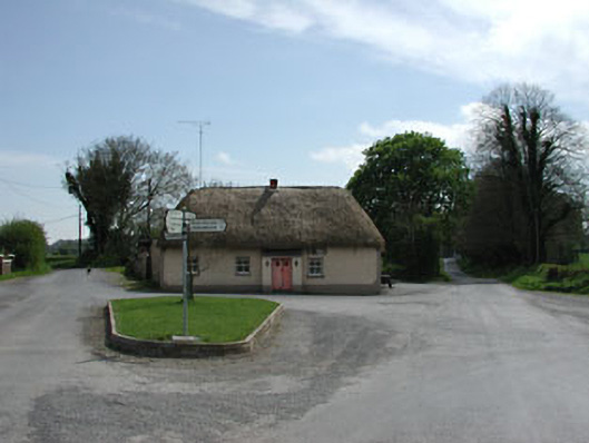 J. Bogganhouse · 1125 yd
 Tober UltanHoly well · 1184 yd
 Wych ElmWych Elm · 2.1 mi
 Bawn in Newcastle (moyfenrath Lower By.)Bawn · 2.2 mi
 Cloncurry GraveyardHeritage attraction · 2.6 mi
 Old Bog Road made famous by Teresa Bryton 1868-1943Memorial · 3.3 mi
 European ashEuropean ash · 3.9 mi
 The Grill ShackHeritage attraction · 6.6 mi
 Croppies' GraveMemorial · 7.0 mi