What is recorded here
In tillage on S-facing slope. Roughly circular spread (20m N-S; 16m E-W) of burnt material.
The above description is derived from the published 'Archaeological Inventory of County Cork. Volume 2: East and South Cork' (Dublin: Stationery Office, 1994). In certain instances the entries have been revised and updated in the light of recent research.
Date of upload/revision: 14 January 2009
The monument record does not grant public access. Check the route and ask the landowner before entering private land.
- What survives
- Recorded monument
Places near here
 Killora Lodgecountry house · 284 yd
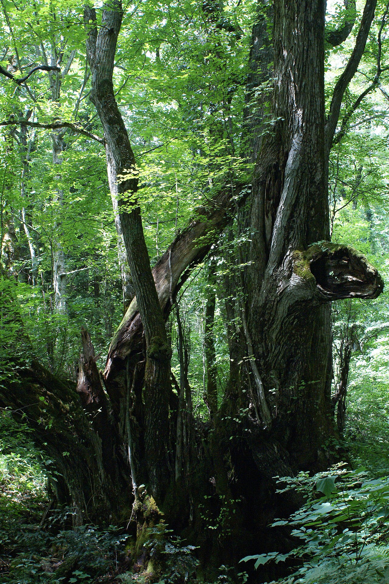 Katsura treeKatsura tree · 489 yd
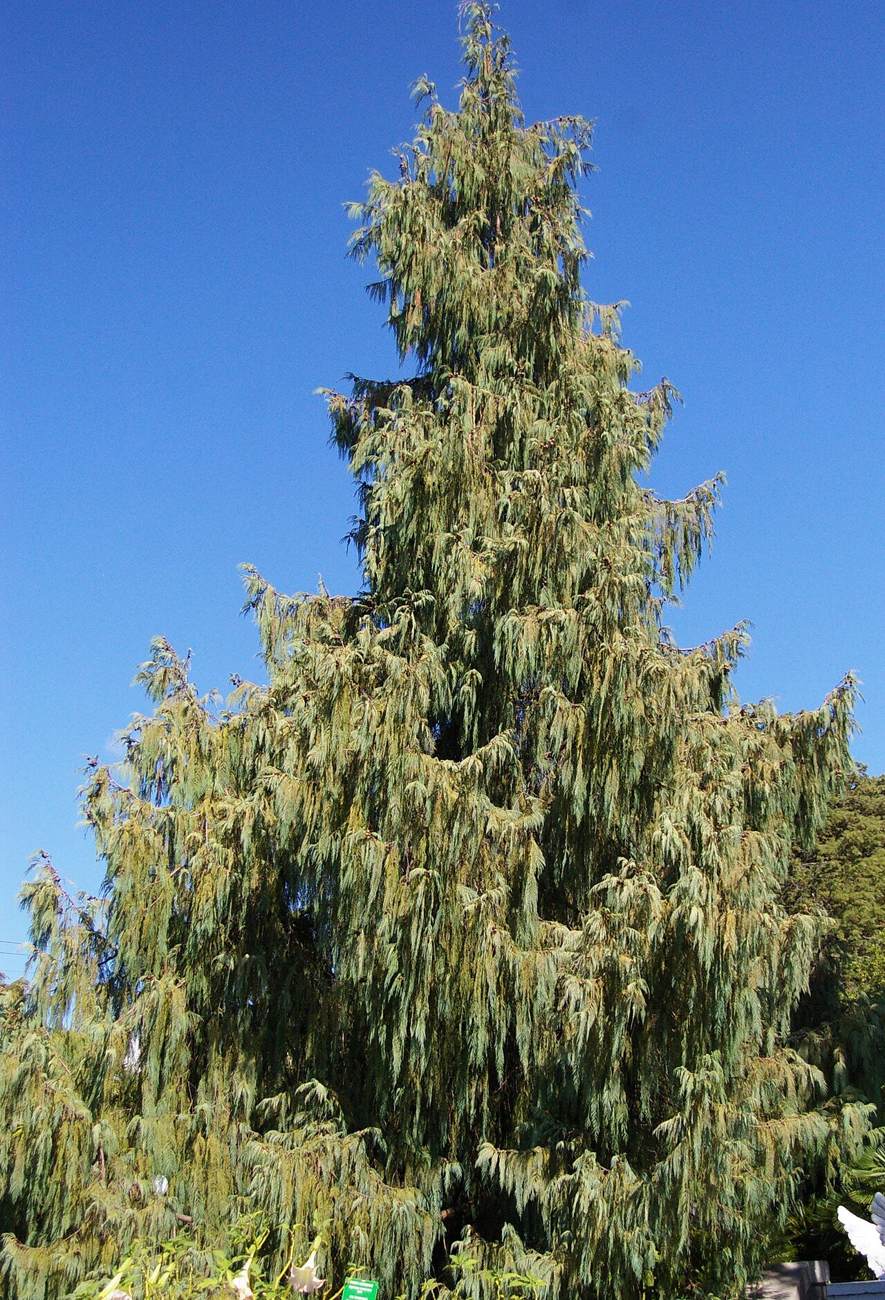 Bhutan CypressBhutan Cypress · 497 yd
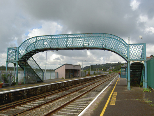 Glounthaune Stationfoot bridge · 544 yd
 Harper's IslandIslet · 1327 yd
 Castle (Site of)Castle, unclassified · 1.1 mi
 IndicatedFairy fort / earthen ringfort · 1.3 mi
 Church (Site of)Church · 1.4 mi
 Fota Arboretum and GardensHeritage attraction · 1.6 mi
 The Tower (Barn)Castle · 2.0 mi
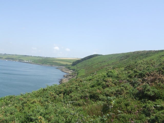 Carrigrenan PointHeadland · 2.1 mi
 Lough MahonBay · 2.7 mi