What is recorded here
In pasture a short distance east of a stream. Low, largely levelled mound of burnt soil and heat affected
stones partially exposed in test trenches. Exposed extent of mound measured c. 7.7m in length N/S x
4.4m in width E/W. The mound is unexcavated and will be preserved in situ.
Compiled by: Miriam Carrol (Tobar Archaeological Services)
Date of upload/revision: 14 March 2022
The monument record does not grant public access. Check the route and ask the landowner before entering private land.
- What survives
- Recorded monument
Places near here
 Fulacht fia in Gurteenroe (muskerry West By.)Fulacht fia · 479 yd
 CaveMan-made underground passage · 620 yd
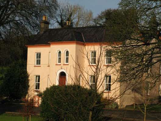 Gurteenroe Househouse · 1179 yd
 Codrumcountry house · 1193 yd
 Macroom WalksVisitor information · 1.0 mi
 Neill's WoodWood · 1.0 mi
 Macroom Castle (in Ruins)Castle, tower house · 1.1 mi
 Battle of Macroombattle · 1.3 mi
 Curraheen WoodWood · 1.5 mi
 Carrigaphooca CastleCastle · 1.9 mi
 Clonavrick CliffCliff · 3.0 mi
 BurrenMountain / peak · 4.6 mi