What is recorded here
Situated in a low-lying landscape between drumlins. Three fulachta fia were recorded in a NE-SW line in 1968 (SMR file). This is the central one and is described as a small oval grass-covered mound (dims 5m N-S; c. 3m E-W; max. H 0.2m). Fulacht fia (ME005-52----) is c. 10m to the SW and (ME006-052002-) is c. 10m to the NE. The fulachta fia (ME006-13----; ME006-013001-) are c. 100m to the SE.
Compiled by: Michael Moore
Date of upload: 6 October 2022
The monument record does not grant public access. Check the route and ask the landowner before entering private land.
- What survives
- Recorded monument
Places near here
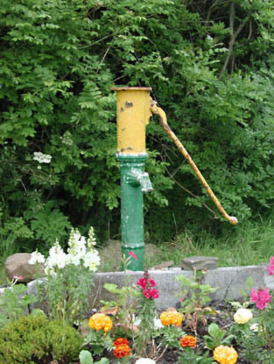 water pumpwater pump · 199 yd
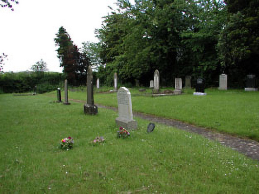 graveyard/cemeterygraveyard/cemetery · 304 yd
 MoatCastle, motte and bailey · 534 yd
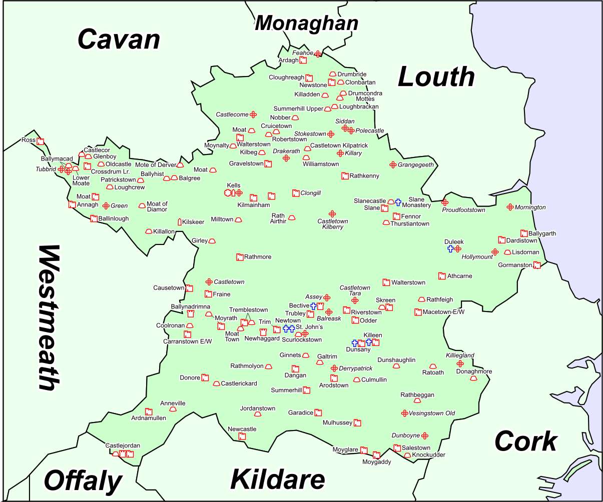 Font in DrumcondraFont · 561 yd
 Font (present location) in RathtrasnaFont (present location) · 860 yd
 Yellow HillMountain / peak · 1.1 mi
 Drumran HillMountain / peak · 1.2 mi
 Loughbrackan FortCastle, motte and bailey · 1.6 mi
 Valley WoodWood · 4.0 mi
 European White ElmEuropean White Elm · 4.1 mi
 Sir Frederick Foster MemorialMemorial · 4.3 mi
 Nobber GreenwayMemorial · 4.7 mi