What is recorded here
Hot stones, lifted water, poured back: the trough and mound record repeated heat. People may have cooked, cleaned cloth or prepared a shared meal beside the Nore. Later drainage cut through the work, but the shape still suggests a busy place where water and fire were turned to daily use.
In undulating terrain along the western flood-plain of the River Nore and 75m S of a small stream. This fulacht fia was revealed during archaeological monitoring of a Bord Gáis Éireann gas pipeline development and was subsequently excavated in August 1999 (Stevens 2000, 142; Licence no. 99E0600).
The much denuded fulacht fia consisted of patches of a roughly circular burnt mound spread (diam. 12m N-S; 12.5m E-W; D 0.1m), a large sub-circular concave trough (Diam. 2.5-3.6m; D 0.75m) with flat base to the W, a small truncated circular concave trough (diam. 1.5m x 1.3m; D 0.3m) with flat base at the centre and a small pit feature (diam. 1m; D 0.3m) 0.6m S of the larger trough. All these features were partially truncated by modern and post-medieval drainage activity. The fulacht fia appears to have been deliberately decommissioned by pushing the mound material into the troughs. (Stevens 2000, 142)
Compiled by: Jean Farrelly
Date of upload: 31 July 2018
The monument record does not grant public access. Check the route and ask the landowner before entering private land.
- What survives
- Recorded monument
Places near here
 Enclosure in Grange (fassadinin By.)Enclosure · 279 yd
 Concentric enclosure in ParksgroveConcentric enclosure · 489 yd
 Grangemaccomb Church (in ruins)Church · 992 yd
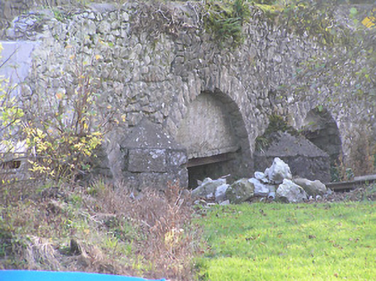 Grange Bridgebridge · 1075 yd
 Ballyragget Cas.Castle, tower house · 1.2 mi
 Donaghmore WellSpring · 1.8 mi
 Graveyard in SraleaghGraveyard · 2.5 mi
 Anker's IslandIsland · 2.5 mi
 Emma Jane Browne-ClaytonMemorial · 3.5 mi
 Red horse-chestnutRed horse-chestnut · 3.5 mi
 Freshford LoopWalking route · 4.0 mi