What is recorded here
Excavated (00E0196) as Area 26 of the N25 Kilmacthomas re-alignment. It is situated at the N edge of a shallow basin that has a NE-SW stream or drain c. 240m to the SE. A burnt mound (dims. 20m N-S; 15m E-W) extended beyond the road-take to the N and S, but the core mound (dims. 15m N-S; 13m E-W; T 0.1-0.2m) could be identified. The excavated mound overlay eight troughs and stake-holes, some of which forming a double row might indicate a structure surviving to the N and outside the road-take. The troughs were subrectangular (dims. c. 0.8-1.8m), flat-bottomed (D 0.2-0.6m), and straight-sided but usually with one sloping edge. None of the troughs had any form of lining. A C14 determination of 1890-1210 cal. BC was derived from a stake-hole. (Tierney 2002; 2008)
Compiled by: Michael Moore.
Date of upload: 17th December, 2010.
The monument record does not grant public access. Check the route and ask the landowner before entering private land.
- What survives
- Recorded monument
Places near here
 Fulacht fia in GraigueshoneenFulacht fia · 404 yd
 Pit-burial in GraigueshoneenPit-burial · 428 yd
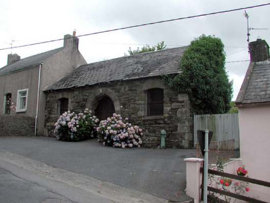 Historic buildingOfficially recorded historic building · 1381 yd
 Castle (in ruins)Castle, unclassified · 1431 yd
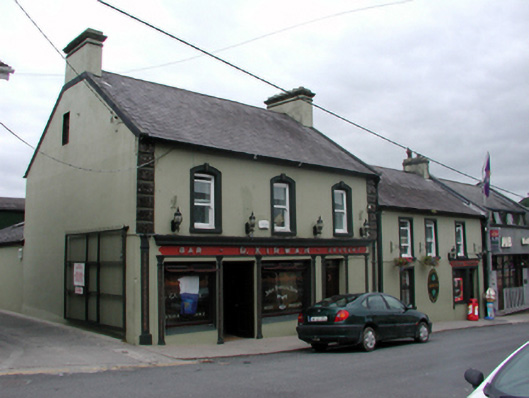 D. Kirwanhouse · 1435 yd
 8 Arch GalleryGallery · 1498 yd
 Site of Cas.Castle, unclassified · 1662 yd
 Crough WoodWood · 3.5 mi
 Croughaun HillMountain / peak · 3.8 mi
 Kilclooney WoodForest · 4.2 mi
 Magic Road (finish)Heritage attraction · 4.3 mi
 Ballydowane CoveBeach / strand · 4.6 mi