What is recorded here
Gneeves holds a horse-shoe shaped mound of burnt earth and shattered red stone, stretching fifteen metres through wet pasture. The eastern opening faces the sky while rush growth marks the hidden trough where water once boiled. People may have gathered there to cook venison or clean tools, using the heat of burning stones to transform raw nature into sustenance. The mound still stands as a witness to that ancient collaboration between human hands and local fire.
Fulacht fia described in 1987 by the 'Castleisland District Archaeological Survey' as 'large roughly horse-shoe shaped mound (dims. 15.4m N-S x 13.4m E-W) of burnt earth and burnt shattered red stone is clearly visible in this field of wet pasture. The opening in the mound lies to the east. The trough area is marked by a concentration of rush growth. This is clearly the site of a fulacht fiadh' (SMR File).
Compiled by: Caimin O'Brien
Date of upload: 27 April 2022
The monument record does not grant public access. Check the route and ask the landowner before entering private land.
- What survives
- Recorded monument
Places near here
 Burnt spread in Gneeves (trughanacmy By.)Burnt spread · 185 yd
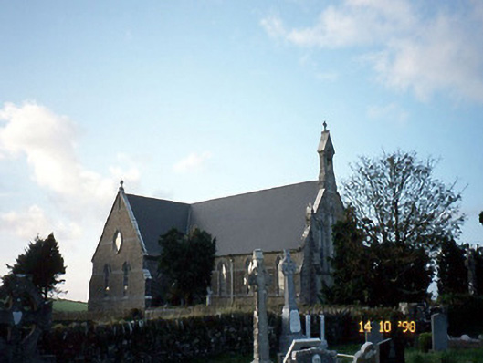 Saint Carthage's Catholic Churchchurch/chapel · 2.0 mi
 Dotted outline, GlebeEcclesiastical enclosure · 2.0 mi
 Mountcollins Bridgebridge · 3.2 mi
 KnockateeMountain / peak · 3.6 mi
 Three CountiesPicnic place · 3.9 mi
 Mount EagleMountain / peak · 4.3 mi
 Kilmurry CastleCastle · 5.6 mi
 Castle (in ruins)Castle, unclassified · 5.6 mi
 Crag CaveCave · 6.7 mi
 Kilflynn Nature ReserveNature reserve · 14 mi
 Tobar na MoltSpring · 18 mi