
What is recorded here
Situated in low-lying, boggy land which has been drained in modern times. A fulacht fiadh (WM019-008----) lies c. 180m to SE. Not depicted on the 1837 ed. OS 6-inch map or the revised 1913 ed. OS 25-inch map. Listed by Victor Buckley as Fulacht Fiadh No. 2 on his sketch map (SMR File). Monument described in 1980 as an oval-shaped mound (dims. 19.8m N-S, 15.0m E-W) raised (H 0.7m) above the surrounding ground level. A large amount of stone was detected just below the surface at every point probed. Monument is not visible on Digital Globe aerial photography.
See attached 25 inch map showing location of fulacht fiadh as marked on map by Victor Buckley
Compiled by: Alison McQueen, Vera Rahilly and Caimin O’Brien
Date of upload: 18 February 2019
The monument record does not grant public access. Check the route and ask the landowner before entering private land.
- What survives
- Recorded monument
Places near here
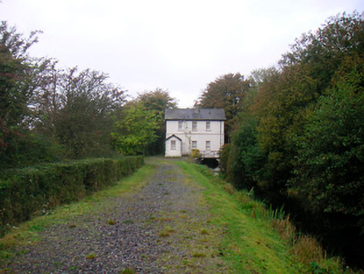 sluice/sluice gate, lock keeper's housesluice/sluice gate, lock keeper's house · 201 yd
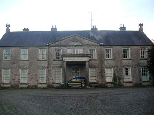 Levington Parkcountry house · 558 yd
 Lady's IslandWood · 776 yd
 TullaghanCastle, tower house · 922 yd
 Castle (in Ruins)Castle, tower house · 950 yd
 Saint Brigid's WellSpring · 1243 yd
 OutlinedFairy fort / earthen ringfort · 1286 yd
 Ecclesiastical enclosure in Culleen MoreEcclesiastical enclosure · 1300 yd
 Church IslandIsland · 1739 yd
 Srudarra IslandIslet · 1752 yd
 United Nations War MemorialMemorial · 1.3 mi
 Scragh Bog Nature ReserveNature reserve · 1.8 mi
Other information
Photo: Credit not shown in the picture search · Rights wording not checked; contact us if this picture should be removed