What is recorded here
Two scatters of burnt stone (diam. of each c. 12m) near small stream, visible after ploughing when inspected in 1966 (see also LH003-031002-).
Compiled by: Claire Breen
Date of upload: 10 November 2011
The monument record does not grant public access. Check the route and ask the landowner before entering private land.
- What survives
- Recorded monument
Places near here
 Roche CastleCastle, Anglo-Norman masonry castle · 305 yd
 Enclosure in Roche (dundalk Upr By; Roche Par.)Enclosure · 588 yd
 Enclosure in Shortstone EastEnclosure · 886 yd
 Bawn in Shortstone EastBawn · 890 yd
 Sky HillMountain / peak · 1531 yd
 Slieve Cottagefarm house · 1567 yd
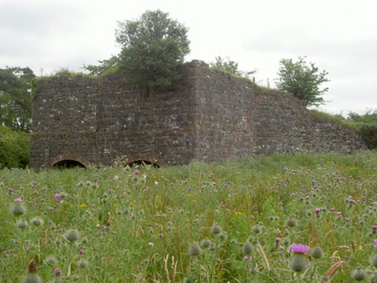 kilnkiln · 1702 yd
 Ballsmill Amenity LandPicnic place · 1.3 mi
 Forkhill Greenspace PathwayWalking route · 2.8 mi
 CroslieveMountain / peak · 2.9 mi
 Ring of Gullion Way - ForkhillVisitor information · 3.0 mi
 Mass Rock Loop TrailWalking route · 3.1 mi