What is recorded here
According to local information, spread of burnt material noted here. No visible surface trace.
The above description is derived from the published 'Archaeological Inventory of County Cork. Volume 4: North Cork' (Dublin: Stationery Office, 2000). In certain instances the entries have been revised and updated in the light of recent research.
Date of upload/revision: 14 January 2009
The monument record does not grant public access. Check the route and ask the landowner before entering private land.
- What survives
- Recorded monument
Places near here
 Johnsgrove Househouse · 586 yd
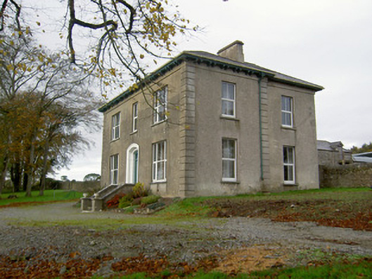 Powerstown Househouse · 918 yd
 Fulacht fia in Dromdeer WestFulacht fia · 1447 yd
 Folacht FiadhFulacht fia · 1.3 mi
 Pedunculate OakPedunculate Oak · 1.8 mi
 Scots PineScots Pine · 2.0 mi
 Doneraile HouseHeritage attraction · 2.4 mi
 Doneraile Castle (Site of)Castle, unclassified · 2.5 mi
 Shanballymore Castle (Site of)Castle, unclassified · 2.8 mi
 Anne's Grove GardensHeritage attraction · 3.0 mi
 Blackwater (Avondhu) WayWalking route · 6.2 mi
 Knocknaskagh North TopMountain / peak · 6.9 mi