What is recorded here
Identified by Audrey Gahan (Licence 97E0289) during archaeological monitoring associated with the N20/N21 Limerick Bypass (www.excavations.ie 1997; 338). Excavated under licence no. 99E0289 ext. by Cia McConway (McConway, 1997). The site was located on a former rugby pitch and had therefore been scarped and levelled. The results of the excavation were summarised as following; ‘Excavation located a burnt mound, in the form of two kidney-shaped ‘arms’ oriented roughly north–south. The western ‘arm’ measured 14.5m x 7m x 0.15m deep and was composed of blackened and heat-shattered stone. The eastern ‘arm’ measured 22.5m x 9m x 0.5m deep, the stone having been compressed into the underlying soft natural clay. This was composed of heat-shattered, blackened stone and red burnt stony soil. The ‘arms’ enclosed a central clay-lined trough, 2.58m x 2m x 0.54m, cutting through the subsoil. There was a shallower ‘basin’-type feature located along the western edge of the trough. A second subsoil-cut trough was located to the east of the burnt mound, measuring 1.96m x 1.42m x 0.36m. This pit had not been lined though there was a small post-hole in each corner, suggesting that they had held a small wooden frame, probably a spit. There was a cluster of stake-holes around the eastern edge of this trough and, though their function is unclear, they possibly held a windbreak, they undoubtedly have an association with the process of cooking. Both troughs were subrectangular in shape and filled with a black, greasy clay, packed with blackened and heat-shattered stone’ (www.excavations.ie; McConway 1998, 114).
Compiled by: Martin Fitzpatrick
Date upload: 29 June 2020
The monument record does not grant public access. Check the route and ask the landowner before entering private land.
- What survives
- Recorded monument
Places near here
 Fulacht fia in DooradoyleFulacht fia · 53 yd
 Enclosure in DooradoyleEnclosure · 102 yd
 St. Dominicks Church (in ruins)Church · 983 yd
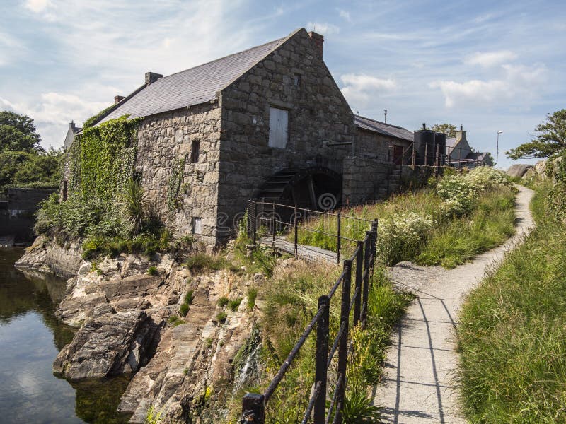 Shanwillen Old MillMill, unclassified · 1313 yd
 CastleCastle, unclassified · 1.0 mi
 Castle (in ruins)Castle, tower house · 1.3 mi
 Fountain SculptureHeritage attraction · 3.7 mi
 Visitor CentreVisitor information · 3.8 mi
 Campus MapVisitor information · 3.8 mi
 Sailors HaggardMemorial · 5.1 mi
 Man-made underground passage in RossbrienMan-made underground passage · 814 yd
 CairnCairn, clearance cairn · 947 yd