What is recorded here
Spread of burnt material visible in ploughed field. Second fulacht fiadh c. 150m to NE.
The above description is derived from the published 'Archaeological Inventory of County Cork. Volume 2: East and South Cork' (Dublin: Stationery Office, 1994). In certain instances the entries have been revised and updated in the light of recent research.
Date of upload/revision: 14 January 2009
The monument record does not grant public access. Check the route and ask the landowner before entering private land.
- What survives
- Recorded monument
Places near here
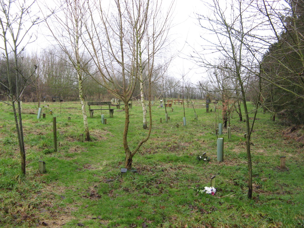 Burial ground in CaherdesertBurial ground · 352 yd
 KnockauncarraghMound · 386 yd
 Desert Church (in Ruins)Church · 1020 yd
 Water millWater mill, horizontal-wheeled · 1135 yd
 Rathcormac massacremassacre · 1.7 mi
 Court (site of )Castle, unclassified · 2.2 mi
 Monananig WoodsWood · 2.2 mi
 Devonshire's HillMountain / peak · 2.4 mi
 Tower (in Ruins)Bawn · 2.7 mi
 Moanbaun ForestForest · 3.5 mi
 Graveyard in KillasseraghGraveyard · 4.2 mi
 Thomas Kent StationMemorial · 13 mi