
What is recorded here
In a grass-covered boggy area at the foot of a rocky S-facing slope. A partially eroded crescent-shaped mound (9m N-S; 6m E-W; H 1.1m) of heat-shattered stones and charcoal-enriched soil. The opening (Wth 3.2m) faces a stream to the E. Traces of burnt material noted 1-3m to the E of the mound are likely to be eroded portions of it. There is an enclosure (CO079-004003-) c. 90m to the NE and relict field boundaries (CO079-002----) c. 100m to the W.
The above description is derived from 'The Archaeological Inventory of County Cork. Volume 5' (Dublin: Stationery Office, 2009).
Date of upload: 22 December 2009
The monument record does not grant public access. Check the route and ask the landowner before entering private land.
- What survives
- Recorded monument
Places near here
 Field boundary in DerryclogherField boundary · 109 yd
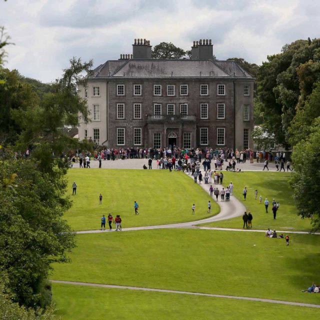 Enclosure in DerryclogherEnclosure · 223 yd
 MineMine, copper · 714 yd
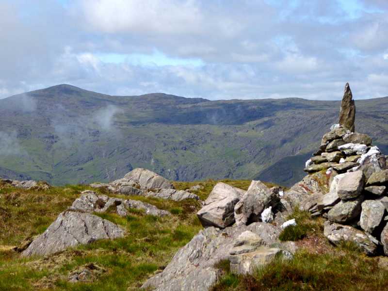 Caoinkeen South-East TopMountain / peak · 968 yd
 KinkeenMountain / peak · 1609 yd
 CaoinkeenCliff · 1.6 mi
 The Priests LeapViewpoint · 3.4 mi
 European ashEuropean ash · 3.9 mi
 Gougane BarraValley and heritage place · 4.0 mi
 Carriganass CastleCastle · 4.2 mi
 Kealkill stone circleVisitor information · 4.9 mi
Other information
Photo: Credit not shown in the picture search · Rights wording not checked; contact us if this picture should be removed