
What is recorded here
On a rough boggy area, at the foot of a S-facing rocky slope in Derryclogher valley. A network of collapsed, mainly curvilinear, relict, stone field boundaries (T 0.7m; H 0.5m) protrude above the surface of the bog in an irregularly shaped area (c. 120m E-W; c. 80m N-S). Upright slabs, which occur at intervals, are set at right angles to the line of the stone field walls.
The above description is derived from 'The Archaeological Inventory of County Cork. Volume 5' (Dublin: Stationery Office, 2009).
Date of upload: 22 December 2009
The monument record does not grant public access. Check the route and ask the landowner before entering private land.
- What survives
- Recorded monument
Places near here
 Fulacht fia in DerryclogherFulacht fia · 109 yd
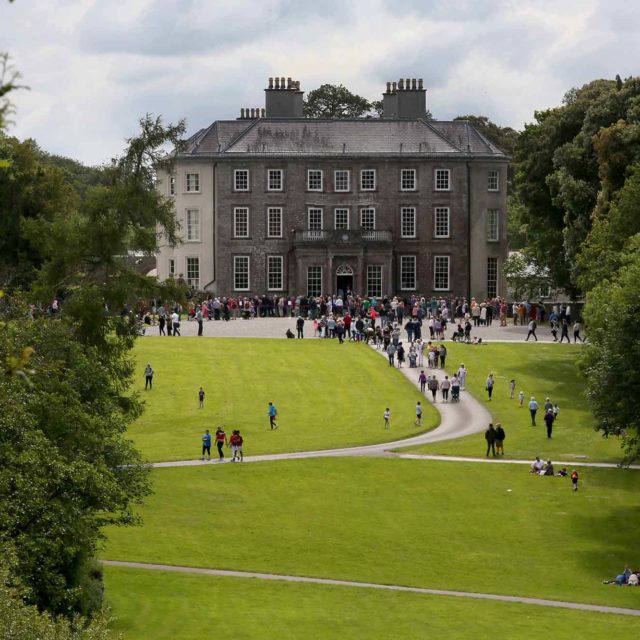 Enclosure in DerryclogherEnclosure · 318 yd
 MineMine, copper · 769 yd
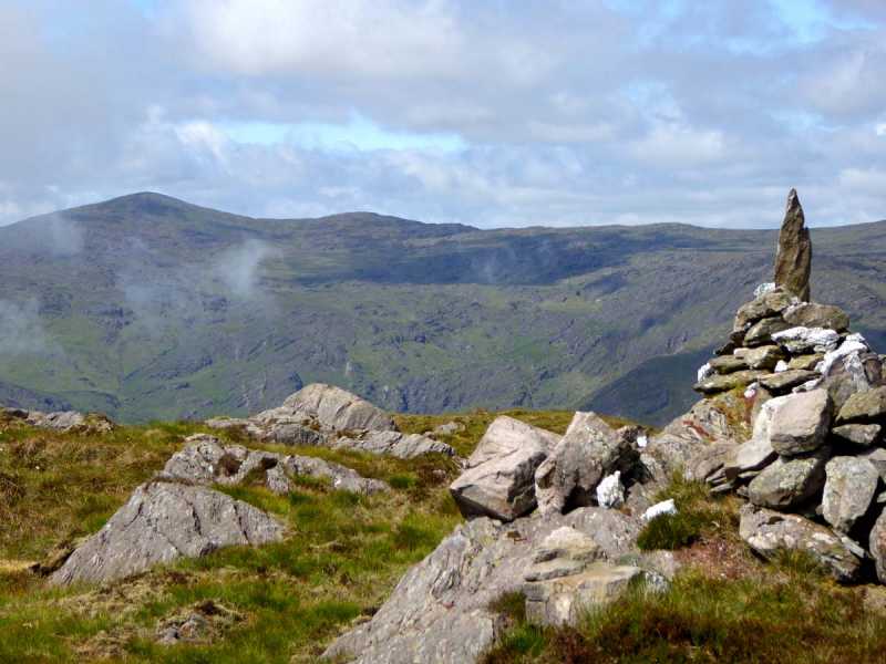 Caoinkeen South-East TopMountain / peak · 879 yd
 KinkeenMountain / peak · 1587 yd
 CaoinkeenCliff · 1.5 mi
 The Priests LeapViewpoint · 3.3 mi
 European ashEuropean ash · 3.9 mi
 Gougane BarraValley and heritage place · 4.1 mi
 Carriganass CastleCastle · 4.2 mi
 Bullaun StoneHeritage attraction · 4.9 mi
Other information
Photo: Credit not shown in the picture search · Rights wording not checked; contact us if this picture should be removed