What is recorded here
In rough grazing, on the W bank of a stream. A horseshoe-shaped mound (9m E-W; 7.5m N-S; H 0.6m) of heat-shattered stones and charcoal-enriched soil with the opening (Wth 2.4m) facing N. The mound is partially covered with rushes.
The above description is derived from 'The Archaeological Inventory of County Cork. Volume 5' (Dublin: Stationery Office, 2009).
Date of upload: 22 December 2009
The monument record does not grant public access. Check the route and ask the landowner before entering private land.
- What survives
- Recorded monument
Places near here
 Man-made underground passage in Ards More (west)Man-made underground passage · 681 yd
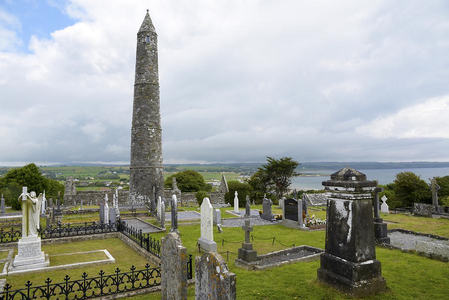 Burial ground in Ards More (west)Burial ground · 879 yd
 Kealkill stone circleVisitor information · 1.3 mi
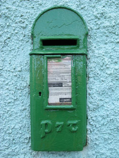 post boxpost box · 1.6 mi
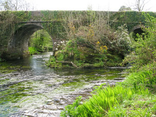 Lisheen Bridgebridge · 1.8 mi
 Carriganass CastleCastle · 1.9 mi
 Bulls PocketMountain / peak · 2.5 mi
 Mullach MéiseMountain / peak · 2.8 mi
 St Finbarr's Pilgrim RouteWalking route · 2.9 mi
 Castle (in Ruins)House, fortified house · 3.0 mi
 Ballylickey BayBay · 3.3 mi
 Daly's LoopWalking route · 3.3 mi