What is recorded here
In pasture. Grass-covered mound of burnt material (40m NE-SW; 18m NW-SE; H0.45m). Visible in aerial photograph (CASAP) as horseshoe-shaped soil mark. Second fulacht fiadh (CO062-212---) 28m to W. Archaeological test-trenching here confirmed the presence of the badly disturbed remains of a fulacht fia (pers. comm. D. Sutton).
The above description is derived from the published 'Archaeological Inventory of County Cork. Volume 3: Mid Cork' (Dublin: Stationery Office, 1997). In certain instances the entries have been revised and updated in the light of recent research.
Date of upload/revision: 14 January 2009
The monument record does not grant public access. Check the route and ask the landowner before entering private land.
- What survives
- Recorded monument
Places near here
 Fulacht fia in ClogheenmilconFulacht fia · 324 yd
 The Gablespresbytery/parochial/curate's house · 436 yd
 store/warehousestore/warehouse · 577 yd
 Milestone (present location) in ArdamadaneMilestone (present location) · 1133 yd
 River Martin Mill & WeirVisitor information · 1225 yd
 Jerry O'Connor 1955-2005Memorial · 1249 yd
 Waterloo Loop WalkWalking route · 1270 yd
 Ring WoodWood · 1398 yd
 BatsVisitor information · 1451 yd
:BlarneyCastle,KinsaleCorkCityShoreTour-KlookIndia.jpg) Clogheenmilcon SanctuaryNature reserve · 1.2 mi
Clogheenmilcon SanctuaryNature reserve · 1.2 mi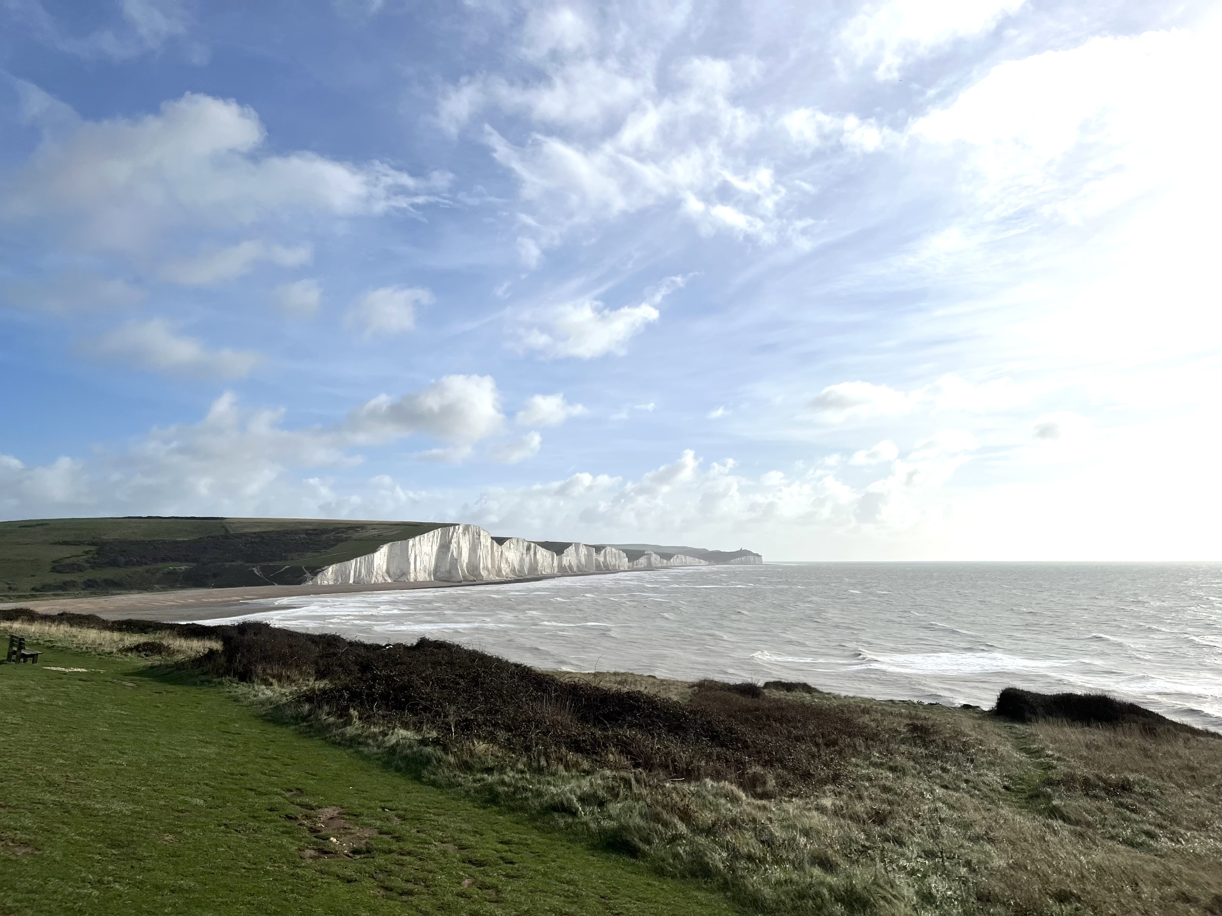 The Seven SistersHeritage attraction · 1.4 mi
 The Rock CloseHeritage attraction · 1.4 mi