What is recorded here
. Archaeological excavation (E2823) during 2007 as part of the Athlone to Ballinasloe N6 road development revealed a burnt mound (dims 7.7m E-W; 5m N-S; T 0.1m) overlying a circular trough (diam. 2.1m; D 0.1m) with four fills, one of which contained burnt animal bone. This produced a C14 date of cal. BC 2286-2060. A second rectangular trough (dims 1.93m N-S; 1.3m E-W; D 0.28m) also contained four fills, and a third rectangular trough (dims 1.45m N-S; 1.05m E-W; D 0.3m) was SW of the mound. The second trough provided a C14 date of Cal. BC 2455-2200, while the third produced a C14 date of Cal. BC 2135-1951. (Conboy 2010a; 2010d, 7-9, 28)
Compiled by: Michael Moore
Date of upload: 24 August 2010
Amended: 25 November, 2013
The monument record does not grant public access. Check the route and ask the landowner before entering private land.
- What survives
- Recorded monument
Places near here
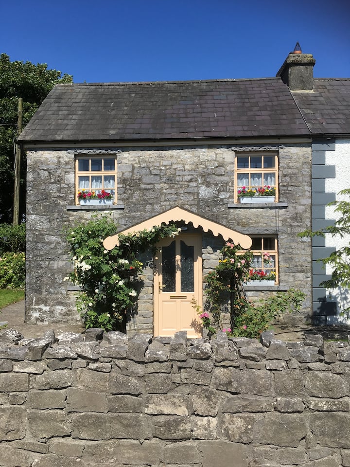 Ardcarn Ho.House, 18th/19th century · 1144 yd
 Kilbegly WellHoly well · 1213 yd
 Kilbegly ChurchChurch · 1481 yd
 Embanked enclosureFairy fort / earthen ringfort · 1.4 mi
 Ardcarn IslandsIslet · 1.4 mi
 Bawn in Townparks (moycarn By. - Ballinasloe)Bawn · 2.3 mi
 Castle ParkCastle, unclassified · 2.4 mi
 Split HillMountain / peak · 3.5 mi
 West WoodWood · 4.3 mi
 Sugarloaf HillMountain / peak · 4.6 mi
 Long IslandIsland · 5.1 mi
 Shannonbridge - Nearby AttractionsVisitor information · 5.4 mi