What is recorded here
Three fulacht fia sites cluster near a possible ringfort in Corrin, County Cork, marking a busy place for heat and transformation. The main spread of burnt material stretches fourteen metres through tillage beside an old stream, suggesting repeated work rather than a single event. People may have gathered water, heated stones and prepared food, drink or rituals in that small valley. The land has changed, but the burnt depth and repeated use still point to a lively human past.
In tillage, to NNE of possible ringfort and close to two other fulacht fiadh (CO035-05001-; CO035-05002-). Spread of burnt material (14m N-S). Stream shown on 1935 OS 6-inch map to N.
The above description is derived from the published 'Archaeological Inventory of County Cork. Volume 2: East and South Cork' (Dublin: Stationery Office, 1994). In certain instances the entries have been revised and updated in the light of recent research.
Date of upload/revision: 14 January 2009
The monument record does not grant public access. Check the route and ask the landowner before entering private land.
- What survives
- Recorded monument
Places near here
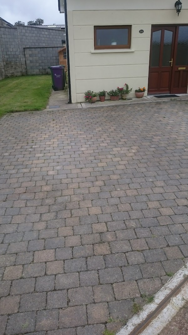 Enclosure in CorrinEnclosure · 92 yd
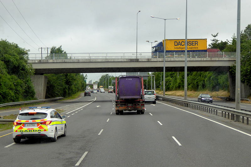 RoadRoad, unclassified togher · 439 yd
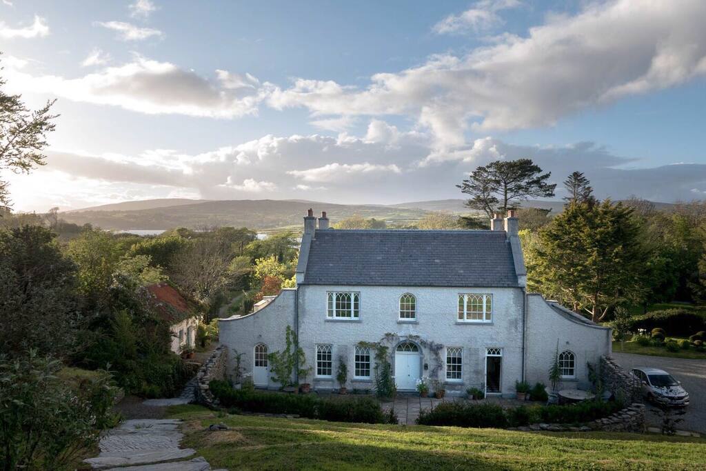 Hearth in CorrinHearth · 445 yd
 Corrin WoodsWood · 1019 yd
 Ballybrack WoodForest · 1458 yd
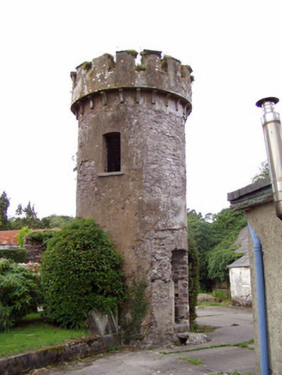 Ballynahina Housefolly · 1559 yd
 Pope's WellSpring · 1.6 mi
 Graveyard in FermoyGraveyard · 1.8 mi
 Tourist InformationVisitor information · 1.9 mi
 Kent BridgeMemorial · 1.9 mi
 Old Railway ViaductViewpoint · 2.4 mi
 Carrigabrick Castle (in Ruins)Castle, tower house · 2.4 mi