What is recorded here
Situated on slight rise on a gentle SW-facing slope. Archaeological centre-line testing (04E0415) by J. Dempsey of Testing Area 1, Contract 2, prior to the construction of the M3 motorway (excavations.ie: 2004:1336) identified burnt mound material, which was completely excavated (E003058) by S. Linnane as Cooksland 2 in July2006 (excavations.ie 2006:1538). The principal feature was a spread of broken and burnt stone (diam. 7.5m; max. T 0.1m) over a grey clay into which a flat-bottomed subrectangular trough (dims 2.05m N-S; 1.5m E-W; max. D 0.45m) had been set just N of the burnt spread. A thin layer of black silty clay covered its base beneath traces of wooden planks and there was a stake-hole at each corner. The wooden sides did not survive but a pale grey clay with sandstone inclusions was used as caulking behind the planking. The trough was filled with a black silty clay with frequent inclusions of burnt stone over the collapsed caulking. A sample of alder charcoal produced a C14 date of 1877-1613 cal. BC (BETA 237581). A retouched flake from an end-scraper was recovered from the lower fill of the trough. Three pits (dims 3.6m x 1.4m; D 0.4m: 2.4m x 0.95m; D 0.35m: 2.6m x 1.1m; D 0.65m) were c. 25m to the NE, but no artefacts were recovered from them, and there were two unmapped, double-ditched field banks in the area. (Linnane 2008)
See the attached plans from Linnane 2008 (figs 7, 8)
_1 Contour plan (interval 0.02m);
_2 Trough;
Compiled by: Michael Moore
Date of upload: 26 April 2022
The monument record does not grant public access. Check the route and ask the landowner before entering private land.
- What survives
- Recorded monument
Places near here
 Enclosure in Roestown (ratoath By.)Enclosure · 600 yd
 EnclosureEnclosure, large enclosure · 624 yd
 Dunshaughlin Civic Officesoffice · 1287 yd
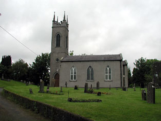 Saint Seachnall's Church (Dunshaughlin)church/chapel · 1576 yd
 Killeen CastleCastle, tower house · 1.8 mi
 Laurel WoodsWood · 2.6 mi
 Dunsany CastleCastle, unclassified · 2.8 mi
 Barrack WoodsWood · 2.9 mi
 Lismahon 1798 MemorialMonument · 4.1 mi
 Emerald ParkHeritage attraction · 4.4 mi
 Battle of Tara Hillbattle · 4.5 mi
 Battle of Tara (Ireland)Major battlefield · 4.5 mi