What is recorded here
Situated on a gentle N-facing slope. Topsoil stripping (02E0194) in advance of a gas pipeline identified a localised spread of broken and burnt stone in a darkened soil (1A/20/1), which was completely excavated (02E0641). The monument had been truncated by agricultural activity but three small spreads of broken and burnt stone overlay a rectangular trough (dims 1.5m E-W; 0.9m N-S; max. D 0.65m) which had several intercutting and slightly earlier pits to the E and NE filled with silty clays in the main, as was the trough. There was a large oval pit (dims 3.6m NW-SE; 2.6m NE-SW; max. D 0.5m) to the W filled with burnt mound material. Radiocarbon dates of 2565-2366 cal. BC and 2463-2145 cal. BC were returned for two of the pits. (Baker 2004; 2005, 5-8; Baker 2007)
Compiled by: Michael Moore
Date of upload: 8 March, 2018
The monument record does not grant public access. Check the route and ask the landowner before entering private land.
- What survives
- Recorded monument
Places near here
 Enclosure in Roestown (ratoath By.)Enclosure · 592 yd
 EnclosureEnclosure, large enclosure · 627 yd
 Dunshaughlin Civic Officesoffice · 1313 yd
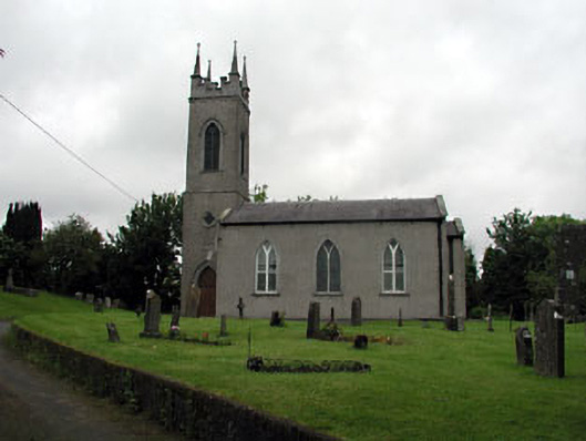 Saint Seachnall's Church (Dunshaughlin)church/chapel · 1617 yd
 Killeen CastleCastle, tower house · 1.8 mi
 Laurel WoodsWood · 2.6 mi
 Dunsany CastleCastle, unclassified · 2.7 mi
 Dunsany WoodWood · 2.8 mi
 Lismahon 1798 MemorialMonument · 4.1 mi
 Emerald ParkHeritage attraction · 4.4 mi
 Battle of Tara Hillbattle · 4.5 mi
 Battle of Tara (Ireland)Major battlefield · 4.5 mi