What is recorded here
In marshy terrain, at the base of a N-facing slope, on the S side of a stream. A semi-circular mound (H 0.7m; 15m NE-SW; 11m NW-SE) of burnt material.
Compiled by: Denis Power
Date of upload: 26 August 2011
The monument record does not grant public access. Check the route and ask the landowner before entering private land.
- What survives
- Recorded monument
Places near here
 BarrowBarrow, ring-barrow · 166 yd
 Heathfield Housecountry house · 1381 yd
 Moated site in BallinruaneMoated site · 1572 yd
 CastleCastle, unclassified · 1.5 mi
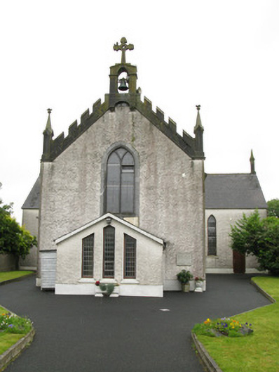 Saint Ita's Catholic Churchchurch/chapel · 1.5 mi
 Castle (in ruins)Castle, hall-house · 2.4 mi
 Our Lady's WellSpring · 2.4 mi
 Garbally WellSpring · 2.5 mi
 Famine stoneMemorial · 4.9 mi
 KnockfeerinaMountain / peak · 5.1 mi
 National Co-op MuseumMuseum · 5.2 mi
 Ballagh MountainMountain / peak · 9.2 mi